Asamankese night lights from space
Night Light of Asamankese (Eastern) from space (Ghana) Src. Average luminocity for 10x10km area is 9.7066% and for 50x50km: 2.9005%.
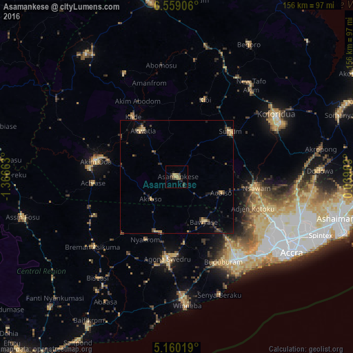
Analysis of Asamankese night lights 2016
Square area 10x10 km:
 0%
0%90-99
0%80-89
2.07%70-79
1.24%60-69
3.31%50-59
0%40-49
3.31%30-39
1.65%20-29
5.37%10-19
1.24%0-9
81.82%Square area 50x50 km:
0%90-99
0%80-89
0.62%70-79
0.44%60-69
0.51%50-59
0.12%40-49
0.88%30-39
0.87%20-29
1.21%10-19
0.75%0-9
94.6%Clear (daylight) street map image can be seen on geolist.org.
Map coordinates:
6° 33' 32.6" North, 1° 21' 59.9" West
5° 51' 36.2" North, 0° 39' 48.6" West
5° 9' 36.7" North, 0° 2' 22.7" East
Some cities around Asamankese sort by population:
• Atsiaman
41.2 km =25.6 mi,  115°
115°
• Akim Oda
36.4 km =22.6 mi,  281°
281°
• Swedru
36.1 km =22.4 mi,  186°
186°
• Suhum
31 km =19.3 mi,  49°
49°
• Nsawam
35.1 km =21.8 mi,  99°
99°
• Akwatia
25.7 km =16 mi,  321°
321°
• Akim Swedru
39.2 km =24.4 mi, 275°
• Kibi
36 km =22.4 mi,  19°
19°
2304220 (p: 39,435)
Sources (retrieved 2019-11-25):
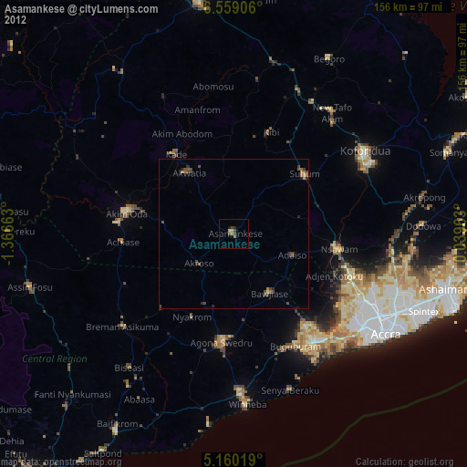
» Earth at Night: Flat Maps 2012, 2016