Koforidua night lights from space
Night Light of Koforidua (Eastern) from space (Ghana) Src. Average luminocity for 10x10km area is 51.3037% and for 50x50km: 6.2975%.
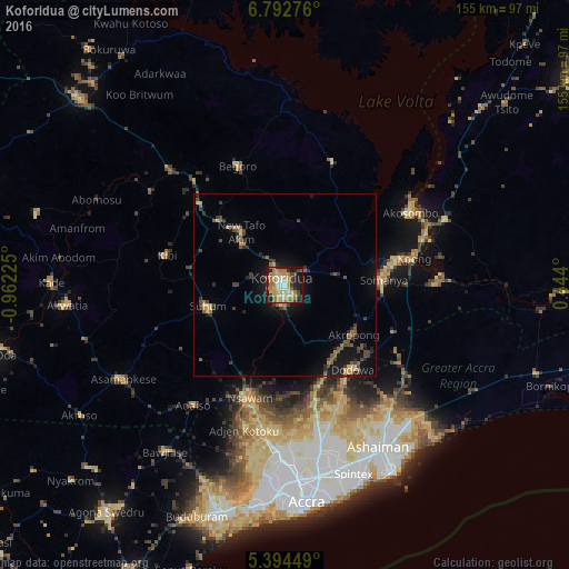
Analysis of Koforidua night lights 2016
Square area 10x10 km:
 2.89%
2.89%90-99
5.17%80-89
10.74%70-79
13.02%60-69
18.18%50-59
4.55%40-49
6.2%30-39
6.82%20-29
8.26%10-19
22.93%0-9
1.24%Square area 50x50 km:
0.12%90-99
0.21%80-89
0.94%70-79
0.93%60-69
1.19%50-59
1.17%40-49
1.37%30-39
1.3%20-29
1.46%10-19
5.11%0-9
86.18%Clear (daylight) street map image can be seen on geolist.org.
Map coordinates:
6° 47' 33.9" North, 0° 57' 44.1" West
6° 5' 38.7" North, 0° 15' 32.9" West
5° 23' 40.2" North, 0° 26' 38.4" East
Some cities around Koforidua sort by population:
• Atsiaman
44.7 km =27.8 mi,  189°
189°
• Medina Estates
48.8 km =30.3 mi,  167°
167°
• Suhum
21.9 km =13.6 mi,  254°
254°
• Nsawam
33.3 km =20.7 mi,  197°
197°
• Begoro
35.1 km =21.8 mi,  338°
338°
• Aburi
28.9 km =18 mi,  161°
161°
• Akropong
23.4 km =14.5 mi,  124°
124°
• Kibi
33.5 km =20.8 mi,  283°
283°
2299522 (p: 96,266)
Sources (retrieved 2019-11-25):
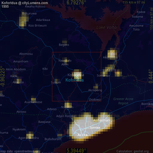
» NASA, Earths city lights 1995
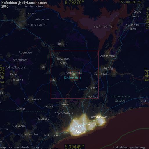
» NASA city lights 2003
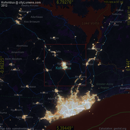
» Earth at Night: Flat Maps 2012, 2016