Suhum night lights from space
Night Light of Suhum (Eastern) from space (Ghana) Src. Average luminocity for 10x10km area is 10.2769% and for 50x50km: 5.6209%.
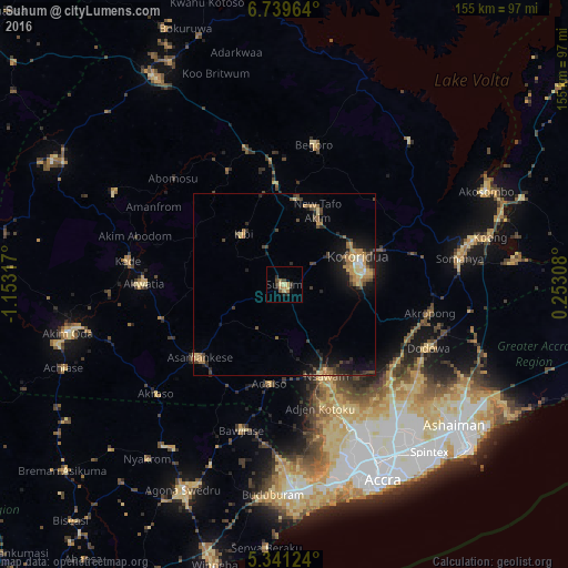
Analysis of Suhum night lights 2016
Square area 10x10 km:
 0%
0%90-99
0%80-89
3.1%70-79
1.65%60-69
2.27%50-59
1.24%40-49
1.65%30-39
2.27%20-29
3.31%10-19
1.03%0-9
83.47%Square area 50x50 km:
0.12%90-99
0.21%80-89
0.96%70-79
0.87%60-69
1.3%50-59
0.66%40-49
1.26%30-39
1.22%20-29
1.65%10-19
3.76%0-9
87.98%Clear (daylight) street map image can be seen on geolist.org.
Map coordinates:
6° 44' 22.7" North, 1° 9' 11.4" West
6° 2' 27.2" North, 0° 27' 0.1" West
5° 20' 28.5" North, 0° 15' 11.1" East
Some cities around Suhum sort by population:
• Atsiaman
40.5 km =25.2 mi,  160°
160°
• Koforidua
21.9 km =13.6 mi,  74°
74°
• Nsawam
28.1 km =17.5 mi, 156°
• Asamankese
31 km =19.3 mi,  229°
229°
• Begoro
39.3 km =24.4 mi,  11°
11°
• Akwatia
39.7 km =24.7 mi,  269°
269°
• Aburi
37.3 km =23.2 mi,  125°
125°
• Kibi
17.9 km =11.1 mi,  320°
320°
2295065 (p: 49,398)
Sources (retrieved 2019-11-25):
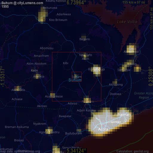
» NASA, Earths city lights 1995
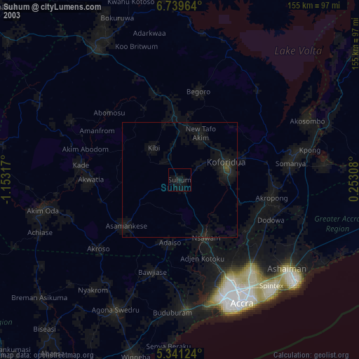
» NASA city lights 2003
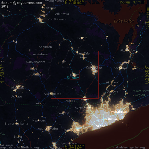
» Earth at Night: Flat Maps 2012, 2016