Nsawam night lights from space
Night Light of Nsawam (Eastern) from space (Ghana) Src. Average luminocity for 10x10km area is 44.3409% and for 50x50km: 28.6656%.
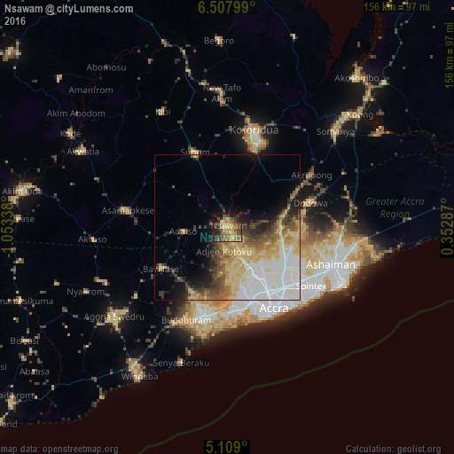
Analysis of Nsawam night lights 2016
Square area 10x10 km:
 0%
0%90-99
0%80-89
8.88%70-79
12.19%60-69
9.3%50-59
11.78%40-49
15.08%30-39
9.71%20-29
12.4%10-19
17.77%0-9
2.89%Square area 50x50 km:
7.12%90-99
4.45%80-89
6.36%70-79
3.72%60-69
3.03%50-59
3.28%40-49
3.93%30-39
3.44%20-29
3.69%10-19
6.02%0-9
54.96%Clear (daylight) street map image can be seen on geolist.org.
Map coordinates:
6° 30' 28.8" North, 1° 3' 12.2" West
5° 48' 32.1" North, 0° 21' 0.9" West
5° 6' 32.4" North, 0° 21' 10.3" East
Some cities around Nsawam sort by population:
• Accra
32.8 km =20.4 mi,  148°
148°
• Atsiaman
12.6 km =7.8 mi,  168°
168°
• Medina Estates
26.1 km =16.2 mi,  127°
127°
• Suhum
28.1 km =17.5 mi,  336°
336°
• Dome
21.7 km =13.5 mi,  144°
144°
• Gbawe
26.2 km =16.3 mi, 170°
• Kasoa
31.4 km =19.5 mi,  193°
193°
• Aburi
19.9 km =12.4 mi,  77°
77°
2297141 (p: 44,522)
Sources (retrieved 2019-11-25):
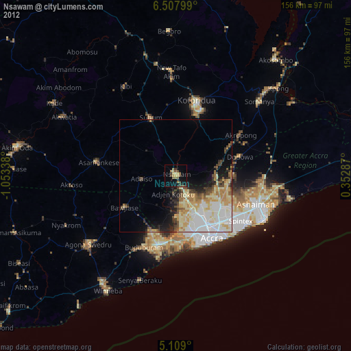
» Earth at Night: Flat Maps 2012, 2016