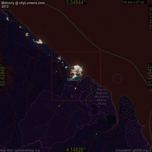
Matoury night lights from space
Night Light of Matoury (Guyane) from space (French Guiana) Src. Average luminocity for 10x10km area is 40.5682% and for 50x50km: 5.364%.
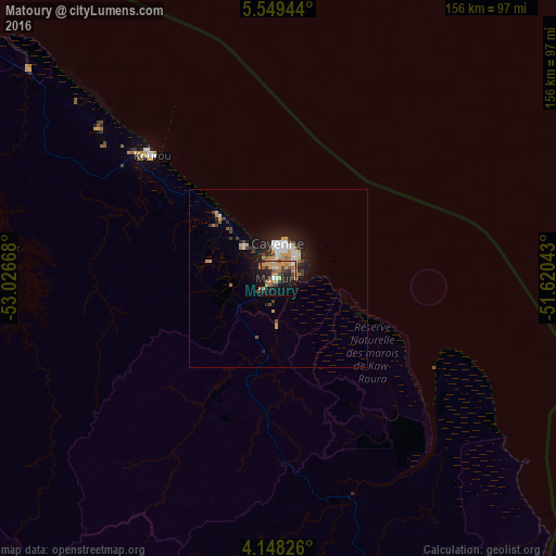
Analysis of Matoury night lights 2016
Square area 10x10 km:
 1.86%
1.86%90-99
3.72%80-89
3.51%70-79
20.45%60-69
4.96%50-59
3.93%40-49
6.61%30-39
4.13%20-29
12.6%10-19
22.31%0-9
15.91%Square area 50x50 km:
0.65%90-99
0.78%80-89
0.33%70-79
1.61%60-69
0.52%50-59
0.32%40-49
0.77%30-39
0.48%20-29
1.59%10-19
4.04%0-9
88.9%Clear (daylight) street map image can be seen on geolist.org.
Map coordinates:
5° 32' 58" North, 53° 1' 36" West
4° 50' 57.2" North, 52° 19' 24.8" West
4° 8' 53.7" North, 51° 37' 13.5" West
Some cities around Matoury sort by population:
• Cayenne
9.4 km =5.8 mi,  353°
353°
• Saint-Laurent-du-Maroni
202.3 km =125.7 mi,  291°
291°
• Kourou
49.7 km =30.9 mi,  314°
314°
• Rémire-Montjoly
9.8 km =6.1 mi,  40°
40°
• Macouria
9 km =5.6 mi,  321°
321°
• Moengo, SR
245.3 km =152.4 mi, 290°
• Mana
185.1 km =115 mi,  299°
299°
• Albina, SR
204.9 km =127.3 mi, 290°
3380965 (p: 26,350)
Sources (retrieved 2019-11-25):
» Earth at Night: Flat Maps 2012, 2016