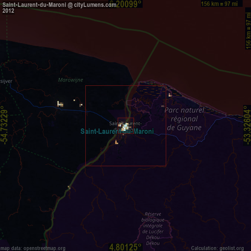
Saint-Laurent-du-Maroni night lights from space
Night Light of Saint-Laurent-du-Maroni (Guyane) from space (French Guiana) Src. Average luminocity for 10x10km area is 24.1756% and for 50x50km: 1.2299%.
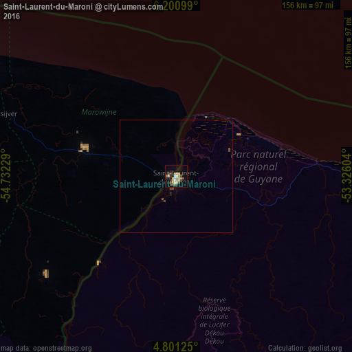
Analysis of Saint-Laurent-du-Maroni night lights 2016
Square area 10x10 km:
 3.72%
3.72%90-99
2.89%80-89
3.1%70-79
5.79%60-69
2.48%50-59
1.65%40-49
4.34%30-39
1.65%20-29
2.48%10-19
16.74%0-9
55.17%Square area 50x50 km:
0.15%90-99
0.12%80-89
0.13%70-79
0.24%60-69
0.1%50-59
0.07%40-49
0.39%30-39
0.07%20-29
0.1%10-19
0.83%0-9
97.8%Clear (daylight) street map image can be seen on geolist.org.
Map coordinates:
6° 12' 3.6" North, 54° 43' 56.2" West
5° 30' 5.5" North, 54° 1' 45" West
4° 48' 4.5" North, 53° 19' 33.7" West
Some cities around Saint-Laurent-du-Maroni sort by population:
• Paramaribo, SR
132.2 km =82.1 mi,  287°
287°
• Lelydorp, SR
135.1 km =83.9 mi,  279°
279°
• Brokopondo, SR
116.4 km =72.3 mi,  244°
244°
• Moengo, SR
43 km =26.7 mi, 286°
• Mana
33.4 km =20.8 mi,  56°
56°
• Nieuw Amsterdam, SR
124.8 km =77.5 mi, 290°
• Albina, SR
2.9 km =1.8 mi,  261°
261°
• Onverwacht, SR
129.4 km =80.4 mi,  274°
274°
3380387 (p: 24,287)
Sources (retrieved 2019-11-25):
» Earth at Night: Flat Maps 2012, 2016