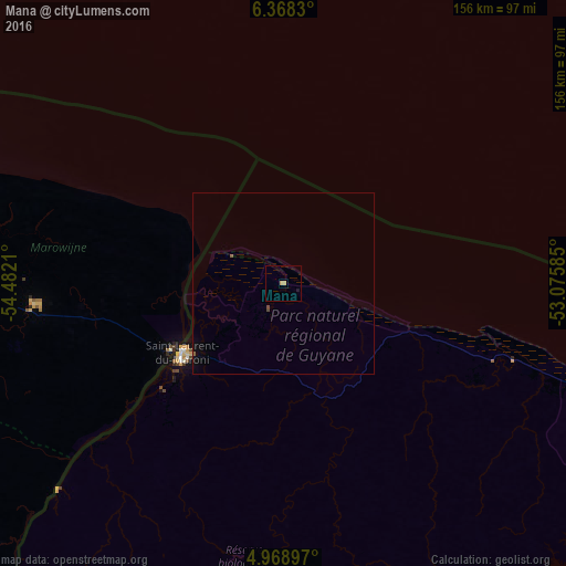
Mana night lights from space
Night Light of Mana (Guyane) from space (French Guiana) Src. Average luminocity for 10x10km area is 1.5764% and for 50x50km: 0.2164%.
Analysis of Mana night lights 2016
Square area 10x10 km:
 0%
0%90-99
0%80-89
0%70-79
1.65%60-69
0%50-59
0%40-49
0%30-39
0%20-29
0%10-19
0.83%0-9
97.52%Square area 50x50 km:
0%90-99
0%80-89
0%70-79
0.07%60-69
0%50-59
0.07%40-49
0.07%30-39
0%20-29
0%10-19
0.11%0-9
99.68%Clear (daylight) street map image can be seen on geolist.org.
Map coordinates:
6° 22' 5.9" North, 54° 28' 55.6" West
5° 40' 8.6" North, 53° 46' 44.3" West
4° 58' 8.3" North, 53° 4' 33.1" West
Some cities around Mana sort by population:
• Paramaribo, SR
155.1 km =96.4 mi,  278°
278°
• Saint-Laurent-du-Maroni
33.4 km =20.8 mi,  236°
236°
• Kourou
137.8 km =85.6 mi,  114°
114°
• Brokopondo, SR
149.5 km =92.9 mi, 242°
• Moengo, SR
69.1 km =42.9 mi,  264°
264°
• Nieuw Amsterdam, SR
146.9 km =91.3 mi, 279°
• Albina, SR
36 km =22.4 mi, 238°
• Onverwacht, SR
156.9 km =97.5 mi,  266°
266°
3381041 (p: 5,885)
Sources (retrieved 2019-11-25):
» Earth at Night: Flat Maps 2012, 2016