Kourou night lights from space
Night Light of Kourou (Guyane) from space (French Guiana) Src. Average luminocity for 10x10km area is 17.626% and for 50x50km: 1.5727%.
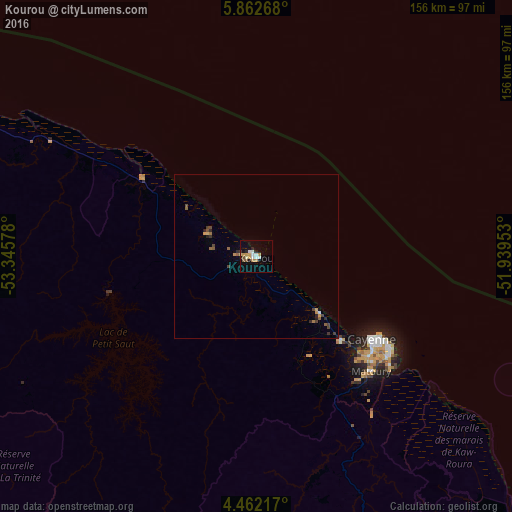
Analysis of Kourou night lights 2016
Square area 10x10 km:
 3.93%
3.93%90-99
2.07%80-89
1.65%70-79
3.93%60-69
1.65%50-59
1.24%40-49
1.24%30-39
0.83%20-29
1.86%10-19
6.82%0-9
74.79%Square area 50x50 km:
0.18%90-99
0.1%80-89
0.09%70-79
0.35%60-69
0.15%50-59
0.27%40-49
0.37%30-39
0.21%20-29
0.27%10-19
0.41%0-9
97.59%Clear (daylight) street map image can be seen on geolist.org.
Map coordinates:
5° 51' 45.6" North, 53° 20' 44.8" West
5° 9' 46.1" North, 52° 38' 33.5" West
4° 27' 43.8" North, 51° 56' 22.3" West
Some cities around Kourou sort by population:
• Cayenne
42.7 km =26.5 mi,  126°
126°
• Matoury
49.7 km =30.9 mi, 134°
• Saint-Laurent-du-Maroni
158.1 km =98.2 mi,  283°
283°
• Rémire-Montjoly
49.8 km =30.9 mi,  123°
123°
• Macouria
40.7 km =25.3 mi, 133°
• Moengo, SR
201 km =124.9 mi, 284°
• Mana
137.8 km =85.6 mi,  294°
294°
• Albina, SR
160.8 km =99.9 mi, 283°
3381303 (p: 24,029)
Sources (retrieved 2019-11-25):
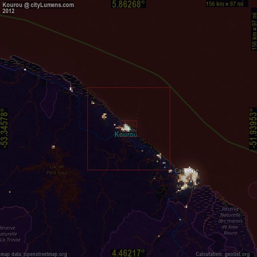
» Earth at Night: Flat Maps 2012, 2016