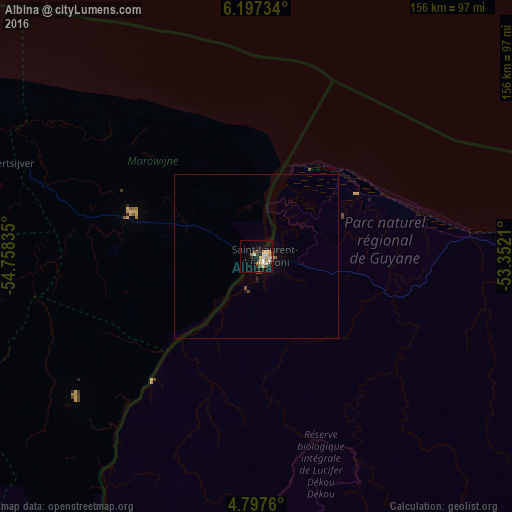
Albina night lights from space
Night Light of Albina (Marowijne) from space (Suriname) Src. Average luminocity for 10x10km area is 22.6136% and for 50x50km: 1.1992%.
Analysis of Albina night lights 2016
Square area 10x10 km:
 3.72%
3.72%90-99
2.89%80-89
3.1%70-79
5.37%60-69
2.48%50-59
0.83%40-49
4.34%30-39
1.65%20-29
2.48%10-19
14.26%0-9
58.88%Square area 50x50 km:
0.15%90-99
0.12%80-89
0.13%70-79
0.24%60-69
0.1%50-59
0.07%40-49
0.32%30-39
0.07%20-29
0.1%10-19
0.83%0-9
97.87%Clear (daylight) street map image can be seen on geolist.org.
Map coordinates:
6° 11' 50.4" North, 54° 45' 30.1" West
5° 29' 52.4" North, 54° 3' 18.8" West
4° 47' 51.4" North, 53° 21' 7.6" West
Some cities around Albina sort by population:
• Paramaribo
129.6 km =80.5 mi,  288°
288°
• Saint-Laurent-du-Maroni, GF
2.9 km =1.8 mi,  81°
81°
• Lelydorp
132.3 km =82.2 mi,  279°
279°
• Brokopondo
113.6 km =70.6 mi,  244°
244°
• Moengo
40.4 km =25.1 mi, 288°
• Mana, GF
36 km =22.4 mi,  58°
58°
• Nieuw Amsterdam
122.2 km =75.9 mi, 290°
• Onverwacht
126.5 km =78.6 mi,  274°
274°
3384792 (p: 3,985)
Sources (retrieved 2019-11-25):
» Earth at Night: Flat Maps 2012, 2016