Moengo night lights from space
Night Light of Moengo (Marowijne) from space (Suriname) Src. Average luminocity for 10x10km area is 10.2438% and for 50x50km: 0.4538%.
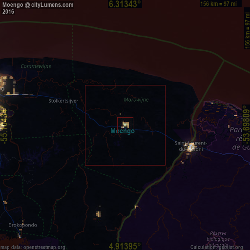
Analysis of Moengo night lights 2016
Square area 10x10 km:
 0%
0%90-99
0%80-89
2.27%70-79
3.93%60-69
2.69%50-59
2.69%40-49
0%30-39
0%20-29
1.65%10-19
0.21%0-9
86.57%Square area 50x50 km:
0%90-99
0%80-89
0.09%70-79
0.16%60-69
0.11%50-59
0.11%40-49
0%30-39
0.03%20-29
0.07%10-19
0.01%0-9
99.41%Clear (daylight) street map image can be seen on geolist.org.
Map coordinates:
6° 18' 48.3" North, 55° 6' 15.6" West
5° 36' 50.8" North, 54° 24' 4.4" West
4° 54' 50.2" North, 53° 41' 53.1" West
Some cities around Moengo sort by population:
• Paramaribo
89.2 km =55.4 mi,  288°
288°
• Saint-Laurent-du-Maroni, GF
43 km =26.7 mi,  106°
106°
• Lelydorp
92.6 km =57.5 mi,  275°
275°
• Brokopondo
89.2 km =55.4 mi,  225°
225°
• Mana, GF
69.1 km =42.9 mi,  84°
84°
• Nieuw Amsterdam
81.8 km =50.8 mi, 291°
• Albina
40.4 km =25.1 mi, 108°
• Onverwacht
87.8 km =54.6 mi,  268°
268°
3383494 (p: 7,074)
Sources (retrieved 2019-11-25):
» Earth at Night: Flat Maps 2012, 2016