Woodbridge night lights from space
Night Light of Woodbridge (England) from space (United Kingdom) Src. Average luminocity for 10x10km area is 6.5794% and for 50x50km: 4.3493%.
Analysis of Woodbridge night lights 2016
Square area 10x10 km:
 0.66%
0.66%90-99
0.4%80-89
0.53%70-79
1.06%60-69
0.26%50-59
1.32%40-49
3.57%30-39
0.53%20-29
1.19%10-19
0.4%0-9
90.08%Square area 50x50 km:
0.56%90-99
0.65%80-89
0.28%70-79
0.47%60-69
0.52%50-59
0.59%40-49
0.76%30-39
0.65%20-29
0.85%10-19
3.91%0-9
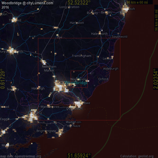
90.76%Clear (daylight) street map image can be seen on geolist.org.
Map coordinates:
52° 31' 23.6" North, 0° 37' 2.2" East
52° 5' 36" North, 1° 19' 13.5" East
51° 39' 33.3" North, 2° 1' 24.7" East
Some cities around Woodbridge sort by population:
• Ipswich
11.9 km =7.4 mi,  251°
251°
• Felixstowe
14.6 km =9.1 mi,  171°
171°
• Stowmarket
24.5 km =15.2 mi,  295°
295°
• Harwich
17 km =10.6 mi,  188°
188°
• Kesgrave
6.7 km =4.2 mi,  239°
239°
• Hadleigh
25.7 km =16 mi,  257°
257°
• Leiston
21.6 km =13.4 mi,  54°
54°
• Manningtree
24.2 km =15 mi,  227°
227°
2633671 (p: 11,200)
Sources (retrieved 2019-11-25):
» Earth at Night: Flat Maps 2012, 2016