Felixstowe night lights from space
Night Light of Felixstowe (England) from space (United Kingdom) Src. Average luminocity for 10x10km area is 19.029% and for 50x50km: 4.4624%.
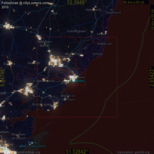
Analysis of Felixstowe night lights 2016
Square area 10x10 km:
 4.42%
4.42%90-99
4.67%80-89
1.01%70-79
1.52%60-69
1.01%50-59
1.77%40-49
0.63%30-39
2.9%20-29
3.41%10-19
21.84%0-9
56.82%Square area 50x50 km:
0.57%90-99
0.65%80-89
0.28%70-79
0.43%60-69
0.59%50-59
0.58%40-49
0.8%30-39
0.77%20-29
0.92%10-19
3.78%0-9
90.62%Clear (daylight) street map image can be seen on geolist.org.
Map coordinates:
52° 23' 41.6" North, 0° 38' 52.7" East
51° 57' 49.5" North, 1° 21' 4" East
51° 31' 42.3" North, 2° 3' 15.2" East
Some cities around Felixstowe sort by population:
• Ipswich
17.1 km =10.6 mi,  308°
308°
• Clacton-on-Sea
23.5 km =14.6 mi,  214°
214°
• Harwich
5.2 km =3.2 mi,  242°
242°
• Walton-on-the-Naze
14.1 km =8.8 mi,  204°
204°
• Frinton-on-Sea
16.5 km =10.3 mi, 206°
• Woodbridge
14.6 km =9.1 mi,  351°
351°
• Kesgrave
13.5 km =8.4 mi,  324°
324°
• Manningtree
20 km =12.4 mi,  264°
264°
2649579 (p: 29,171)
Sources (retrieved 2019-11-25):
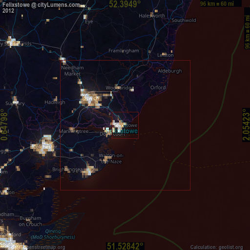
» Earth at Night: Flat Maps 2012, 2016