Leiston night lights from space
Night Light of Leiston (England) from space (United Kingdom) Src. Average luminocity for 10x10km area is 1.7765% and for 50x50km: 0.9919%.
Analysis of Leiston night lights 2016
Square area 10x10 km:
 0%
0%90-99
0%80-89
0.53%70-79
0.26%60-69
0.26%50-59
0.53%40-49
1.06%30-39
0%20-29
0.53%10-19
0%0-9
96.83%Square area 50x50 km:
0.07%90-99
0.08%80-89
0.04%70-79
0.09%60-69
0.13%50-59
0.1%40-49
0.24%30-39
0.21%20-29
0.25%10-19
0.98%0-9
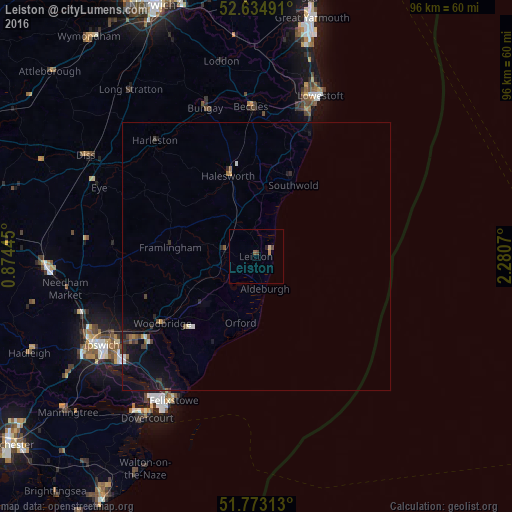
97.8%Clear (daylight) street map image can be seen on geolist.org.
Map coordinates:
52° 38' 5.7" North, 0° 52' 28" East
52° 12' 22" North, 1° 34' 39.3" East
51° 46' 23.3" North, 2° 16' 50.5" East
Some cities around Leiston sort by population:
• Ipswich
33.1 km =20.6 mi,  240°
240°
• Lowestoft
32.2 km =20 mi,  21°
21°
• Felixstowe
31.1 km =19.3 mi,  209°
209°
• Beccles
28.2 km =17.5 mi,  358°
358°
• Woodbridge
21.6 km =13.4 mi,  234°
234°
• Kesgrave
28.2 km =17.5 mi, 235°
• Halesworth
16.4 km =10.2 mi,  341°
341°
• Bungay
29.2 km =18.1 mi, 341°
2644642 (p: 6,495)
Sources (retrieved 2019-11-25):
» Earth at Night: Flat Maps 2012, 2016