Wednesfield night lights from space
Night Light of Wednesfield (England) from space (United Kingdom) Src. Average luminocity for 10x10km area is 92.2765% and for 50x50km: 38.335%.
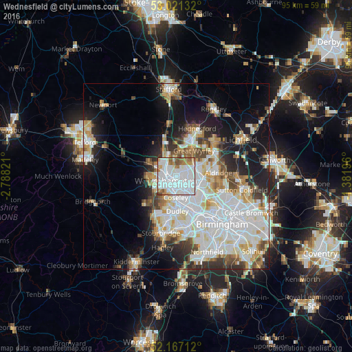
Analysis of Wednesfield night lights 2016
Square area 10x10 km:
 54.76%
90-99
24.47%80-89
3.44%70-79
4.1%60-69
5.95%50-59
5.16%40-49
1.85%30-39
0.26%20-29
0%10-19
0%0-9
0%Square area 50x50 km:
12.58%90-99
10.32%80-89
3.49%70-79
3.54%60-69
3.41%50-59
2.89%40-49
3.52%30-39
3.07%20-29
5.43%10-19
11.91%0-9
39.82%Clear (daylight) street map image can be seen on geolist.org.
Map coordinates:
53° 1' 16.8" North, 2° 47' 17.6" West
52° 35' 46.7" North, 2° 5' 6.3" West
52° 10' 1.6" North, 1° 22' 55.1" West
Some cities around Wednesfield sort by population:
• Wolverhampton
2.8 km =1.7 mi,  244°
244°
• Walsall
6.9 km =4.3 mi,  100°
100°
• Tipton
7.5 km =4.7 mi,  171°
171°
• Bloxwich
6 km =3.7 mi,  66°
66°
• Willenhall
2.1 km =1.3 mi,  125°
125°
• Featherstone
5.4 km =3.4 mi,  354°
354°
• Codsall
8.7 km =5.4 mi,  295°
295°
• Pelsall
8.7 km =5.4 mi, 65°
2634616 (p: 33,555)
Sources (retrieved 2019-11-25):
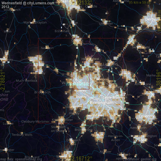
» Earth at Night: Flat Maps 2012, 2016