Walsall night lights from space
Night Light of Walsall (England) from space (United Kingdom) Src. Average luminocity for 10x10km area is 93.3862% and for 50x50km: 40.5875%.
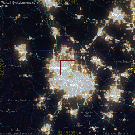
Analysis of Walsall night lights 2016
Square area 10x10 km:
 47.49%
90-99
29.37%80-89
7.67%70-79
8.47%60-69
5.69%50-59
1.19%40-49
0.13%30-39
0%20-29
0%10-19
0%0-9
0%Square area 50x50 km:
12.92%90-99
10.72%80-89
3.46%70-79
3.71%60-69
3.69%50-59
3.06%40-49
3.65%30-39
3.59%20-29
7.54%10-19
14.45%0-9
33.22%Clear (daylight) street map image can be seen on geolist.org.
Map coordinates:
53° 0' 37.5" North, 2° 41' 13.5" West
52° 35' 7" North, 1° 59' 2.3" West
52° 9' 21.6" North, 1° 16' 51" West
Some cities around Walsall sort by population:
• Bloxwich
3.9 km =2.4 mi,  339°
339°
• Wednesfield
6.9 km =4.3 mi,  280°
280°
• Willenhall
5.1 km =3.2 mi,  269°
269°
• Wednesbury
4.6 km =2.9 mi,  215°
215°
• Brownhills
6.3 km =3.9 mi,  32°
32°
• Aldridge
5 km =3.1 mi,  63°
63°
• Streetly
6.8 km =4.2 mi,  91°
91°
• Pelsall
5 km =3.1 mi,  12°
12°
2634853 (p: 172,141)
Sources (retrieved 2019-11-25):
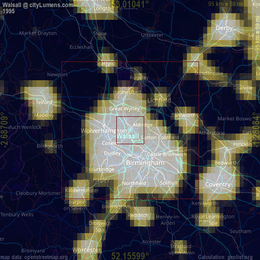
» NASA, Earths city lights 1995
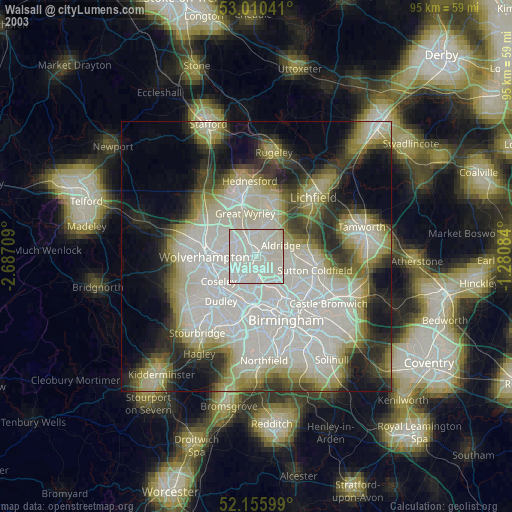
» NASA city lights 2003
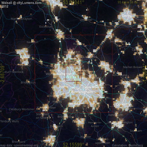
» Earth at Night: Flat Maps 2012, 2016