Brownhills night lights from space
Night Light of Brownhills (England) from space (United Kingdom) Src. Average luminocity for 10x10km area is 64.7526% and for 50x50km: 39.2237%.
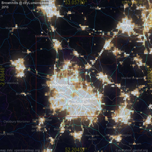
Analysis of Brownhills night lights 2016
Square area 10x10 km:
 15.61%
90-99
14.55%80-89
5.95%70-79
11.38%60-69
8.2%50-59
6.75%40-49
16.4%30-39
3.84%20-29
12.04%10-19
5.29%0-9
0%Square area 50x50 km:
12.57%90-99
10.46%80-89
3.44%70-79
3.56%60-69
3.45%50-59
2.74%40-49
3.37%30-39
2.85%20-29
6.83%10-19
15.82%0-9
34.92%Clear (daylight) street map image can be seen on geolist.org.
Map coordinates:
53° 3' 28.8" North, 2° 38' 11.3" West
52° 37' 60" North, 1° 55' 60" West
52° 12' 16.2" North, 1° 13' 48.8" West
Some cities around Brownhills sort by population:
• Walsall
6.3 km =3.9 mi,  212°
212°
• Bloxwich
5.1 km =3.2 mi,  250°
250°
• Burntwood
5.3 km =3.3 mi,  4°
4°
• Great Wyrley
6.2 km =3.9 mi,  301°
301°
• Aldridge
3.3 km =2.1 mi,  160°
160°
• Pelsall
2.3 km =1.4 mi,  258°
258°
• Chasetown
4.4 km =2.7 mi,  7°
7°
• Norton Canes
4.7 km =2.9 mi,  334°
334°
2654490 (p: 20,308)
Sources (retrieved 2019-11-25):
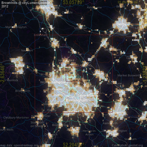
» Earth at Night: Flat Maps 2012, 2016