Retford night lights from space
Night Light of Retford (England) from space (United Kingdom) Src. Average luminocity for 10x10km area is 8.7475% and for 50x50km: 15.3901%.
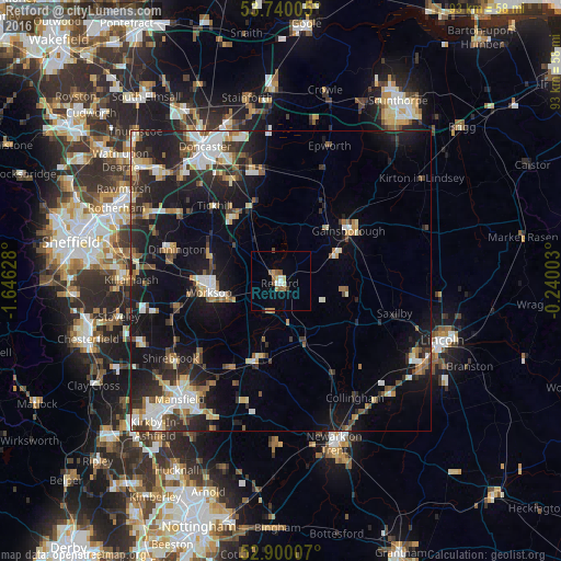
Analysis of Retford night lights 2016
Square area 10x10 km:
 1.01%
1.01%90-99
1.01%80-89
0.51%70-79
1.39%60-69
1.64%50-59
2.02%40-49
1.01%30-39
0.51%20-29
0.25%10-19
0.25%0-9
90.4%Square area 50x50 km:
2.25%90-99
2.54%80-89
1.54%70-79
1.47%60-69
1.64%50-59
1.94%40-49
1.93%30-39
2.54%20-29
5.03%10-19
12.76%0-9
66.37%Clear (daylight) street map image can be seen on geolist.org.
Map coordinates:
53° 44' 24.2" North, 1° 38' 46.6" West
53° 19' 19.7" North, 0° 56' 35.3" West
52° 54' 0.3" North, 0° 14' 24.1" West
Some cities around Retford sort by population:
• Worksop
12.2 km =7.6 mi,  259°
259°
• Gainsborough
13.5 km =8.4 mi,  59°
59°
• Dinnington
17.8 km =11.1 mi,  286°
286°
• Boughton
13.8 km =8.6 mi,  191°
191°
• Warsop
18.3 km =11.4 mi,  228°
228°
• Market Warsop
19.1 km =11.9 mi, 226°
• Bircotes
12.9 km =8 mi,  326°
326°
• Edwinstowe
16.3 km =10.1 mi,  209°
209°
2650346 (p: 22,023)
Sources (retrieved 2019-11-25):
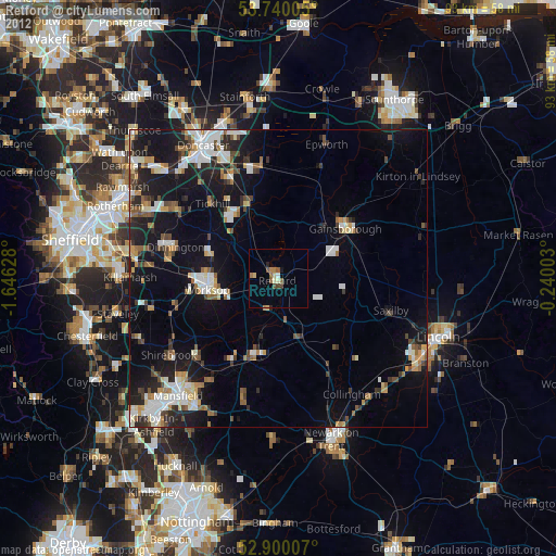
» Earth at Night: Flat Maps 2012, 2016