Gainsborough night lights from space
Night Light of Gainsborough (England) from space (United Kingdom) Src. Average luminocity for 10x10km area is 13.3347% and for 50x50km: 10.6149%.
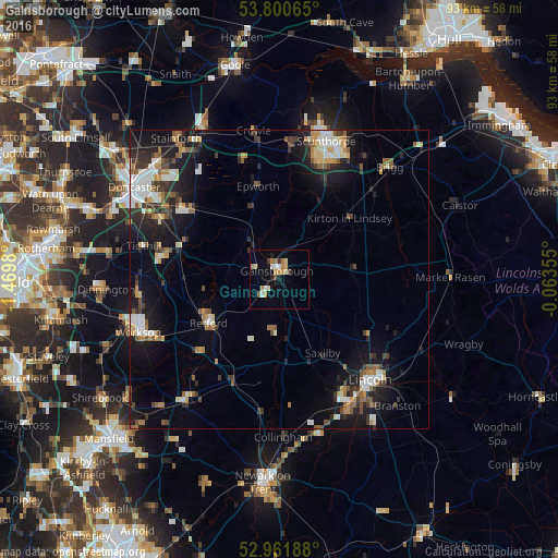
Analysis of Gainsborough night lights 2016
Square area 10x10 km:
 1.72%
1.72%90-99
2.38%80-89
1.19%70-79
1.98%60-69
2.78%50-59
1.06%40-49
1.19%30-39
1.06%20-29
0.53%10-19
4.76%0-9
81.35%Square area 50x50 km:
1.45%90-99
1.82%80-89
0.96%70-79
1.12%60-69
1.16%50-59
1.6%40-49
1.19%30-39
1.9%20-29
2.57%10-19
8.37%0-9
77.86%Clear (daylight) street map image can be seen on geolist.org.
Map coordinates:
53° 48' 2.3" North, 1° 28' 11.3" West
53° 22' 60" North, 0° 46' 0" West
52° 57' 42.8" North, 0° 3' 48.8" West
Some cities around Gainsborough sort by population:
• Lincoln
23.1 km =14.4 mi,  138°
138°
• Scunthorpe
23 km =14.3 mi,  18°
18°
• Worksop
25.4 km =15.8 mi,  249°
249°
• Retford
13.5 km =8.4 mi,  239°
239°
• Armthorpe
25.4 km =15.8 mi,  311°
311°
• Boughton
25 km =15.5 mi,  215°
215°
• Bircotes
19.1 km =11.9 mi,  282°
282°
• Dunholme
22 km =13.7 mi,  114°
114°
2648945 (p: 20,842)
Sources (retrieved 2019-11-25):
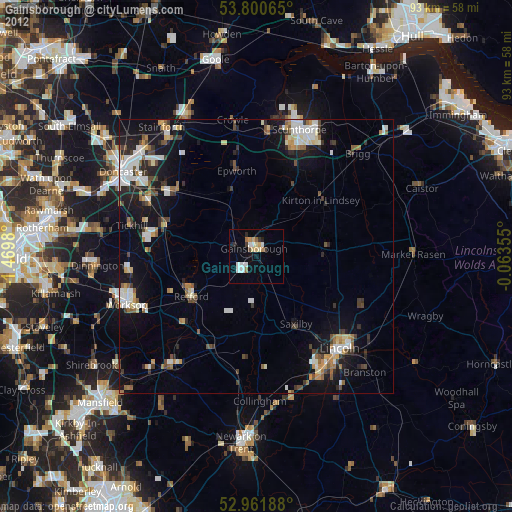
» Earth at Night: Flat Maps 2012, 2016