Worksop night lights from space
Night Light of Worksop (England) from space (United Kingdom) Src. Average luminocity for 10x10km area is 26.9987% and for 50x50km: 25.2979%.
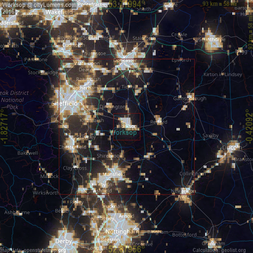
Analysis of Worksop night lights 2016
Square area 10x10 km:
 4.8%
4.8%90-99
5.3%80-89
2.02%70-79
2.78%60-69
3.03%50-59
3.28%40-49
2.27%30-39
2.4%20-29
2.53%10-19
35.1%0-9
36.49%Square area 50x50 km:
4.21%90-99
4.93%80-89
2.69%70-79
2.51%60-69
3.06%50-59
3.15%40-49
3.17%30-39
4.91%20-29
8.53%10-19
14.59%0-9
48.24%Clear (daylight) street map image can be seen on geolist.org.
Map coordinates:
53° 43' 11.8" North, 1° 49' 37.8" West
53° 18' 6.6" North, 1° 7' 26.5" West
52° 52' 46.4" North, 0° 25' 15.3" West
Some cities around Worksop sort by population:
• Retford
12.2 km =7.6 mi,  79°
79°
• Dinnington
8.8 km =5.5 mi,  325°
325°
• Warsop
9.9 km =6.2 mi,  190°
190°
• Market Warsop
10.9 km =6.8 mi, 190°
• Kiveton Park
9.7 km =6 mi,  296°
296°
• Clowne
9.8 km =6.1 mi,  251°
251°
• Wales
11.3 km =7 mi,  292°
292°
• Creswell
7.7 km =4.8 mi,  235°
235°
2633551 (p: 43,252)
Sources (retrieved 2019-11-25):
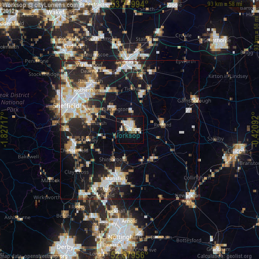
» Earth at Night: Flat Maps 2012, 2016