Pontefract night lights from space
Night Light of Pontefract (England) from space (United Kingdom) Src. Average luminocity for 10x10km area is 60.4116% and for 50x50km: 35.2354%.
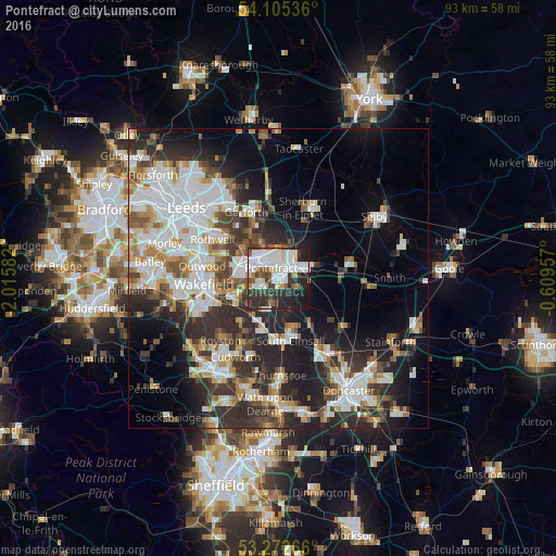
Analysis of Pontefract night lights 2016
Square area 10x10 km:
 18.81%
90-99
17.42%80-89
4.29%70-79
3.16%60-69
3.66%50-59
6.69%40-49
5.43%30-39
12.88%20-29
18.18%10-19
9.47%0-9
0%Square area 50x50 km:
8.79%90-99
7.86%80-89
2.9%70-79
3.54%60-69
3.38%50-59
3.82%40-49
3.94%30-39
6.59%20-29
10.82%10-19
11.86%0-9
36.5%Clear (daylight) street map image can be seen on geolist.org.
Map coordinates:
54° 6' 19.3" North, 2° 0' 57" West
53° 41' 27.9" North, 1° 18' 45.7" West
53° 16' 21.6" North, 0° 36' 34.5" West
Some cities around Pontefract sort by population:
• Castleford
5.1 km =3.2 mi,  319°
319°
• Kippax
9.3 km =5.8 mi,  335°
335°
• Knottingley
4.1 km =2.5 mi,  63°
63°
• Featherstone
3.3 km =2.1 mi,  241°
241°
• Hemsworth
9.1 km =5.7 mi,  197°
197°
• Upton
8.7 km =5.4 mi,  168°
168°
• Crofton
8.6 km =5.3 mi, 243°
• Ryhill
10 km =6.2 mi,  220°
220°
2640132 (p: 44,710)
Sources (retrieved 2019-11-25):
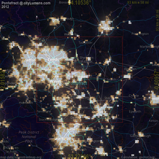
» Earth at Night: Flat Maps 2012, 2016