Kippax night lights from space
Night Light of Kippax (England) from space (United Kingdom) Src. Average luminocity for 10x10km area is 45.9259% and for 50x50km: 35.0069%.
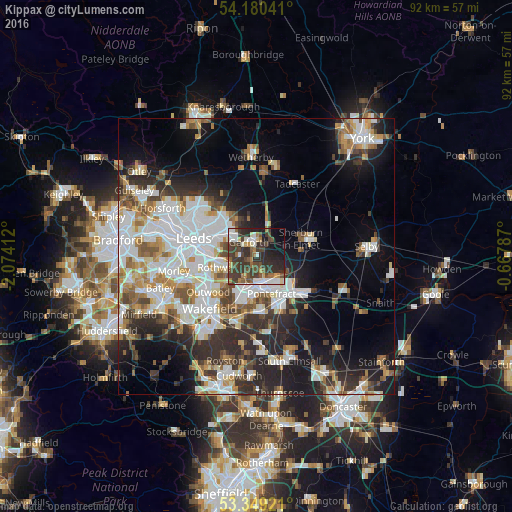
Analysis of Kippax night lights 2016
Square area 10x10 km:
 6.48%
6.48%90-99
7.41%80-89
2.91%70-79
2.91%60-69
6.88%50-59
6.61%40-49
12.83%30-39
23.02%20-29
16.14%10-19
10.85%0-9
3.97%Square area 50x50 km:
8.99%90-99
8.02%80-89
2.64%70-79
3.74%60-69
3.97%50-59
3.87%40-49
3.77%30-39
5.29%20-29
8.84%10-19
11.67%0-9
39.19%Clear (daylight) street map image can be seen on geolist.org.
Map coordinates:
54° 10' 49.5" North, 2° 4' 26.8" West
53° 46' 0.7" North, 1° 22' 15.6" West
53° 20' 57.2" North, 0° 40' 4.3" West
Some cities around Kippax sort by population:
• Leeds
12.1 km =7.5 mi,  285°
285°
• Castleford
4.6 km =2.9 mi,  173°
173°
• Pontefract
9.3 km =5.8 mi,  155°
155°
• Lofthouse
9.3 km =5.8 mi,  243°
243°
• Garforth
2.8 km =1.7 mi,  347°
347°
• Knottingley
10 km =6.2 mi,  131°
131°
• Featherstone
10.1 km =6.3 mi, 174°
• Sherburn in Elmet
8.8 km =5.5 mi,  68°
68°
2645347 (p: 15,965)
Sources (retrieved 2019-11-25):
» Earth at Night: Flat Maps 2012, 2016