Castleford night lights from space
Night Light of Castleford (England) from space (United Kingdom) Src. Average luminocity for 10x10km area is 63.9306% and for 50x50km: 36.2454%.
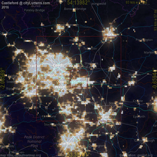

Analysis of Castleford night lights 2016
Square area 10x10 km:
 19.57%
90-99
16.67%80-89
3.54%70-79
2.27%60-69
6.57%50-59
9.97%40-49
10.48%30-39
16.04%20-29
11.74%10-19
3.16%0-9
0%Square area 50x50 km:
9.21%90-99
8.24%80-89
2.84%70-79
3.77%60-69
3.91%50-59
4.02%40-49
4.05%30-39
6.01%20-29
9.68%10-19
12.18%0-9
36.08%Clear (daylight) street map image can be seen on geolist.org.
Map coordinates:
54° 8' 23.4" North, 2° 3' 56.5" West
53° 43' 33.1" North, 1° 21' 45.2" West
53° 18' 28.1" North, 0° 39' 34" West
Some cities around Castleford sort by population:
• Wakefield
10.1 km =6.3 mi,  241°
241°
• Pontefract
5.1 km =3.2 mi,  139°
139°
• Lofthouse
8.9 km =5.5 mi,  272°
272°
• Kippax
4.6 km =2.9 mi,  353°
353°
• Garforth
7.4 km =4.6 mi, 350°
• Knottingley
7.3 km =4.5 mi,  106°
106°
• Featherstone
5.5 km =3.4 mi,  175°
175°
• Crofton
8.9 km =5.5 mi,  209°
209°
2653584 (p: 60,509)
Sources (retrieved 2019-11-25):
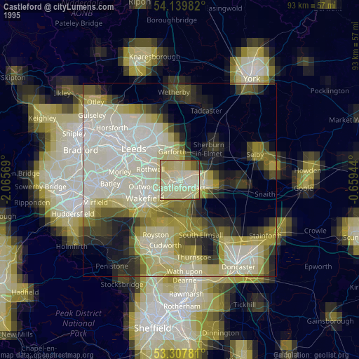
» NASA, Earths city lights 1995
» NASA city lights 2003
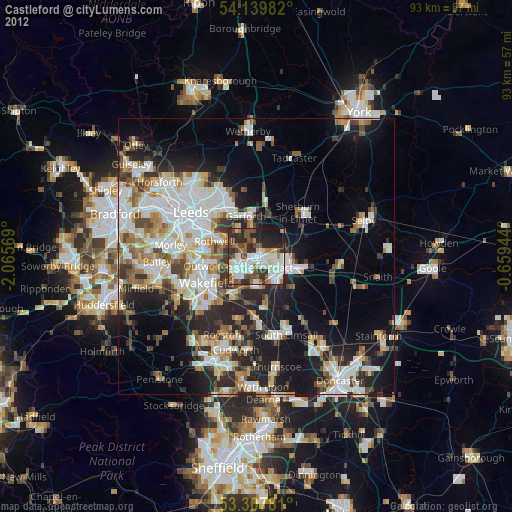
» Earth at Night: Flat Maps 2012, 2016