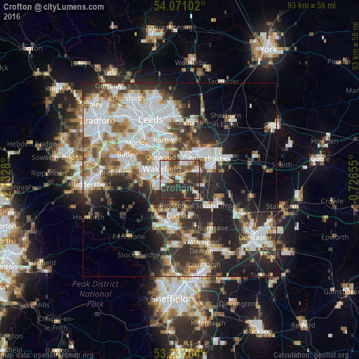
Crofton night lights from space
Night Light of Crofton (England) from space (United Kingdom) Src. Average luminocity for 10x10km area is 55.5745% and for 50x50km: 41.4868%.
Analysis of Crofton night lights 2016
Square area 10x10 km:
 12.12%
90-99
9.85%80-89
6.06%70-79
6.19%60-69
4.04%50-59
9.72%40-49
8.21%30-39
19.32%20-29
24.49%10-19
0%0-9
0%Square area 50x50 km:
10.89%90-99
9.51%80-89
3.56%70-79
4.53%60-69
4.26%50-59
4.52%40-49
4.96%30-39
7.13%20-29
11.38%10-19
11.07%0-9
28.19%Clear (daylight) street map image can be seen on geolist.org.
Map coordinates:
54° 4' 15.7" North, 2° 7' 58.1" West
53° 39' 23" North, 1° 25' 46.8" West
53° 14' 15.5" North, 0° 43' 35.6" West
Some cities around Crofton sort by population:
• Wakefield
5.4 km =3.4 mi,  303°
303°
• Castleford
8.9 km =5.5 mi,  29°
29°
• Pontefract
8.6 km =5.3 mi,  63°
63°
• Featherstone
5.3 km =3.3 mi, 64°
• Horbury
8.6 km =5.3 mi,  273°
273°
• Royston
6.4 km =4 mi,  192°
192°
• Hemsworth
7 km =4.3 mi,  134°
134°
• Ryhill
4 km =2.5 mi,  161°
161°
2651948 (p: 5,258)
Sources (retrieved 2019-11-25):
» Earth at Night: Flat Maps 2012, 2016