Peterborough night lights from space
Night Light of Peterborough (England) from space (United Kingdom) Src. Average luminocity for 10x10km area is 63.8783% and for 50x50km: 6.5865%.
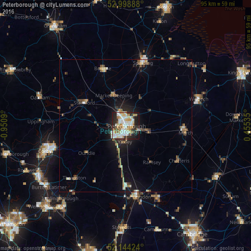
Analysis of Peterborough night lights 2016
Square area 10x10 km:
 18.12%
90-99
17.33%80-89
8.6%70-79
7.28%60-69
9.13%50-59
3.97%40-49
1.98%30-39
4.5%20-29
16.4%10-19
11.77%0-9
0.93%Square area 50x50 km:
0.95%90-99
1.06%80-89
0.78%70-79
0.61%60-69
0.79%50-59
0.91%40-49
0.8%30-39
0.87%20-29
1.89%10-19
3.92%0-9
87.44%Clear (daylight) street map image can be seen on geolist.org.
Map coordinates:
52° 59' 56" North, 0° 57' 3.2" West
52° 34' 25.1" North, 0° 14' 52" West
52° 8' 39.3" North, 0° 27' 19.3" East
Some cities around Peterborough sort by population:
• March
22.8 km =14.2 mi,  96°
96°
• Stamford
18 km =11.2 mi,  298°
298°
• Market Deeping
12.3 km =7.6 mi,  337°
337°
• Whittlesey
8.1 km =5 mi, 102°
• Yaxley
6.3 km =3.9 mi,  186°
186°
• Ramsey
16.6 km =10.3 mi,  145°
145°
• Oundle
18.1 km =11.2 mi,  235°
235°
• Sawtry
15.1 km =9.4 mi, 189°
2640354 (p: 163,379)
Sources (retrieved 2019-11-25):
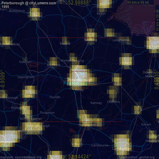
» NASA, Earths city lights 1995
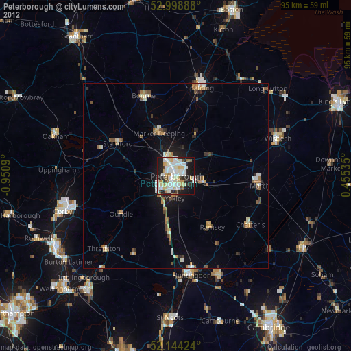
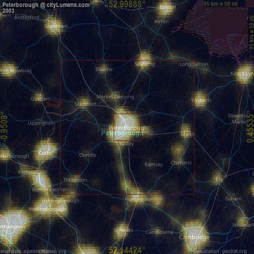
» NASA city lights 2003
» Earth at Night: Flat Maps 2012, 2016