March night lights from space
Night Light of March (England) from space (United Kingdom) Src. Average luminocity for 10x10km area is 7.5172% and for 50x50km: 6.6752%.
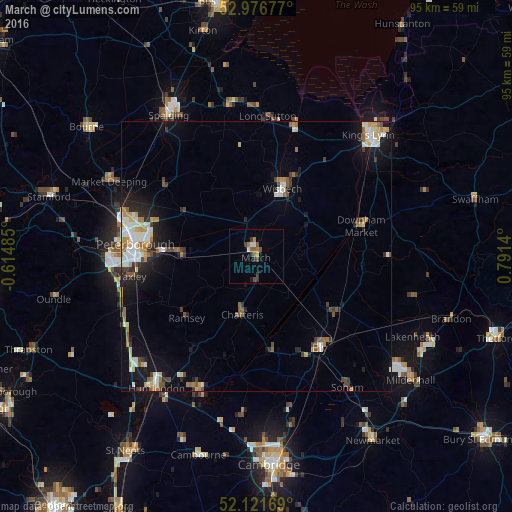
Analysis of March night lights 2016
Square area 10x10 km:
 0.4%
0.4%90-99
1.19%80-89
0%70-79
0.79%60-69
1.85%50-59
1.32%40-49
1.98%30-39
2.51%20-29
0.53%10-19
0.53%0-9
88.89%Square area 50x50 km:
0.93%90-99
1.28%80-89
0.67%70-79
0.74%60-69
0.91%50-59
0.79%40-49
0.72%30-39
0.85%20-29
1.38%10-19
4.12%0-9
87.6%Clear (daylight) street map image can be seen on geolist.org.
Map coordinates:
52° 58' 36.4" North, 0° 36' 53.5" West
52° 33' 4.7" North, 0° 5' 17.8" East
52° 7' 18.1" North, 0° 47' 29" East
Some cities around March sort by population:
• Peterborough
22.8 km =14.2 mi,  276°
276°
• Wisbech
13.6 km =8.5 mi,  20°
20°
• Ely
20.6 km =12.8 mi,  145°
145°
• Whittlesey
14.8 km =9.2 mi,  272°
272°
• Downham Market
20.9 km =13 mi,  72°
72°
• Chatteris
10.8 km =6.7 mi,  192°
192°
• Littleport
18 km =11.2 mi,  125°
125°
• Ramsey
17.4 km =10.8 mi,  230°
230°
2643071 (p: 21,051)
Sources (retrieved 2019-11-25):
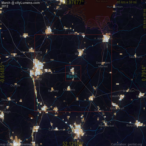
» Earth at Night: Flat Maps 2012, 2016