Penarth night lights from space
Night Light of Penarth (Wales) from space (United Kingdom) Src. Average luminocity for 10x10km area is 40.5281% and for 50x50km: 16.3422%.
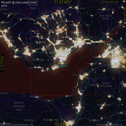
Analysis of Penarth night lights 2016
Square area 10x10 km:
 12.43%
90-99
10.16%80-89
0.67%70-79
2.27%60-69
1.34%50-59
3.88%40-49
5.35%30-39
8.29%20-29
17.11%10-19
20.45%0-9
18.05%Square area 50x50 km:
2.92%90-99
3.44%80-89
1.13%70-79
1.64%60-69
1.52%50-59
1.61%40-49
1.92%30-39
2.63%20-29
6.4%10-19
11.47%0-9
65.32%Clear (daylight) street map image can be seen on geolist.org.
Map coordinates:
51° 52' 29.2" North, 3° 52' 35.5" West
51° 26' 19" North, 3° 10' 24.3" West
50° 59' 53.5" North, 2° 28' 13" West
Some cities around Penarth sort by population:
• Cardiff
4.6 km =2.9 mi,  354°
354°
• Weston-super-Mare
17.1 km =10.6 mi,  127°
127°
• Barry
8.8 km =5.5 mi,  240°
240°
• Caerphilly
15.4 km =9.6 mi, 348°
• Bedwas
17.1 km =10.6 mi, 354°
• Dinas Powys
2.8 km =1.7 mi,  261°
261°
• Rhoose
13.7 km =8.5 mi,  245°
245°
• Pontyclun
17.7 km =11 mi,  301°
301°
2640496 (p: 23,437)
Sources (retrieved 2019-11-25):
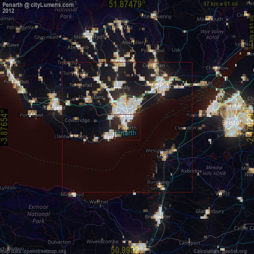
» Earth at Night: Flat Maps 2012, 2016