Caerphilly night lights from space
Night Light of Caerphilly (Wales) from space (United Kingdom) Src. Average luminocity for 10x10km area is 42.0775% and for 50x50km: 19.6708%.
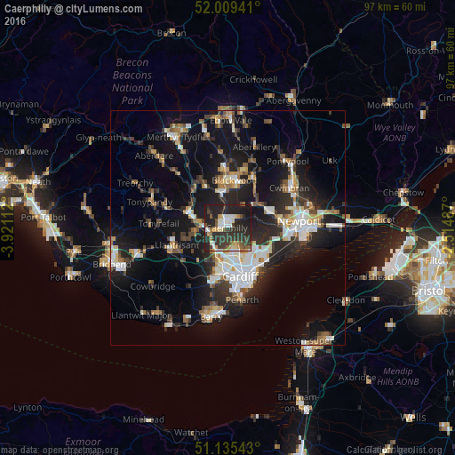
Analysis of Caerphilly night lights 2016
Square area 10x10 km:
 6.28%
6.28%90-99
6.28%80-89
4.14%70-79
5.08%60-69
3.34%50-59
6.02%40-49
3.88%30-39
15.11%20-29
31.95%10-19
17.91%0-9
0%Square area 50x50 km:
3.18%90-99
3.76%80-89
1.48%70-79
2.03%60-69
1.93%50-59
2.17%40-49
2.47%30-39
3.22%20-29
7.21%10-19
16.64%0-9
55.9%Clear (daylight) street map image can be seen on geolist.org.
Map coordinates:
52° 0' 33.9" North, 3° 55' 16" West
51° 34' 28.3" North, 3° 13' 4.8" West
51° 8' 7.5" North, 2° 30' 53.5" West
Some cities around Caerphilly sort by population:
• Pontypridd
9.1 km =5.7 mi,  289°
289°
• Risca
8.9 km =5.5 mi,  65°
65°
• Nelson
9.9 km =6.2 mi,  332°
332°
• Abercarn
9.9 km =6.2 mi,  35°
35°
• Bedwas
2.3 km =1.4 mi,  34°
34°
• Beddau
10 km =6.2 mi,  256°
256°
• Abertridwr
4.2 km =2.6 mi,  304°
304°
• Hengoed
8.5 km =5.3 mi,  353°
353°
2654089 (p: 31,060)
Sources (retrieved 2019-11-25):
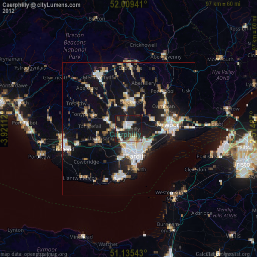
» Earth at Night: Flat Maps 2012, 2016