New Basford night lights from space
Night Light of New Basford (England) from space (United Kingdom) Src. Average luminocity for 10x10km area is 89.2698% and for 50x50km: 26.6182%.
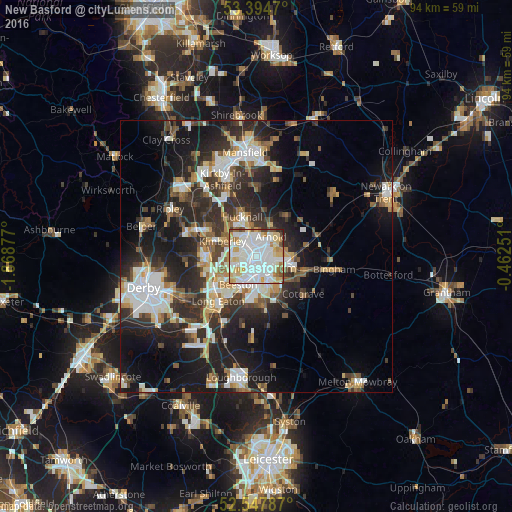
Analysis of New Basford night lights 2016
Square area 10x10 km:
 34.66%
90-99
32.41%80-89
12.7%70-79
8.6%60-69
4.37%50-59
2.91%40-49
2.65%30-39
0.79%20-29
0.93%10-19
0%0-9
0%Square area 50x50 km:
5.16%90-99
5.53%80-89
2.63%70-79
2.44%60-69
2.92%50-59
3.03%40-49
3.4%30-39
4.72%20-29
9.62%10-19
15.09%0-9
45.46%Clear (daylight) street map image can be seen on geolist.org.
Map coordinates:
53° 23' 40.9" North, 1° 52' 7.6" West
52° 58' 24.1" North, 1° 9' 56.3" West
52° 32' 52.3" North, 0° 27' 45" West
Some cities around New Basford sort by population:
• Nottingham
2.4 km =1.5 mi,  155°
155°
• West Bridgford
5.5 km =3.4 mi,  150°
150°
• Arnold
3.7 km =2.3 mi,  36°
36°
• Hucknall
7.1 km =4.4 mi,  340°
340°
• Basford
1.4 km =0.9 mi,  237°
237°
• Kimberley
6.9 km =4.3 mi,  279°
279°
• Radcliffe on Trent
9 km =5.6 mi,  108°
108°
• Calverton
9 km =5.6 mi, 38°
11863042 (p: 8,371)
Sources (retrieved 2019-11-25):
» Earth at Night: Flat Maps 2012, 2016