Arnold night lights from space
Night Light of Arnold (England) from space (United Kingdom) Src. Average luminocity for 10x10km area is 69.4907% and for 50x50km: 25.7695%.
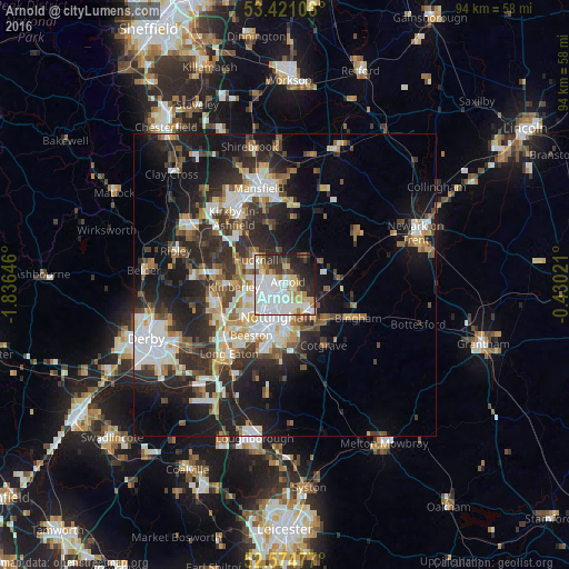
Analysis of Arnold night lights 2016
Square area 10x10 km:
 24.74%
90-99
20.9%80-89
8.73%70-79
5.29%60-69
4.23%50-59
3.84%40-49
3.7%30-39
7.67%20-29
11.9%10-19
7.94%0-9
1.06%Square area 50x50 km:
4.87%90-99
5.31%80-89
2.41%70-79
2.48%60-69
2.75%50-59
3.13%40-49
3.36%30-39
4.61%20-29
9.61%10-19
14.93%0-9
46.55%Clear (daylight) street map image can be seen on geolist.org.
Map coordinates:
53° 25' 15.9" North, 1° 50' 11.3" West
53° 0' 0" North, 1° 7' 60" West
52° 34' 29.2" North, 0° 25' 48.8" West
Some cities around Arnold sort by population:
• Nottingham
5.3 km =3.3 mi,  192°
192°
• West Bridgford
7.8 km =4.8 mi,  176°
176°
• Hucknall
5.8 km =3.6 mi,  309°
309°
• Basford
5 km =3.1 mi,  222°
222°
• Kimberley
9.1 km =5.7 mi,  258°
258°
• New Basford
3.7 km =2.3 mi, 216°
• Radcliffe on Trent
8.6 km =5.3 mi,  132°
132°
• Calverton
5.4 km =3.4 mi,  39°
39°
2657030 (p: 37,873)
Sources (retrieved 2019-11-25):
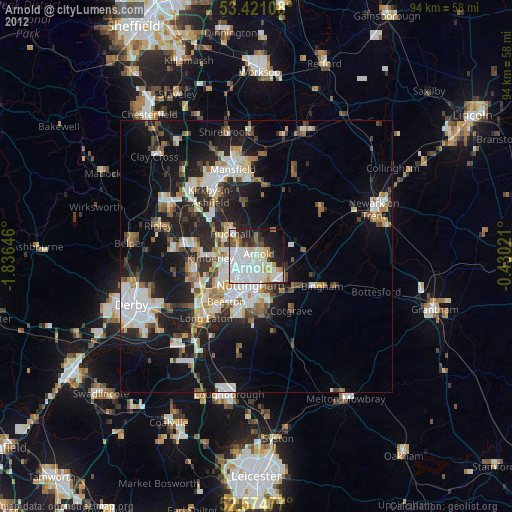
» Earth at Night: Flat Maps 2012, 2016