West Bridgford night lights from space
Night Light of West Bridgford (England) from space (United Kingdom) Src. Average luminocity for 10x10km area is 68.3677% and for 50x50km: 25.8754%.
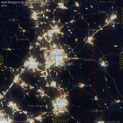
Analysis of West Bridgford night lights 2016
Square area 10x10 km:
 22.75%
90-99
21.56%80-89
5.69%70-79
3.97%60-69
5.16%50-59
8.73%40-49
7.54%30-39
4.76%20-29
10.98%10-19
7.14%0-9
1.72%Square area 50x50 km:
4.94%90-99
5.28%80-89
2.41%70-79
2.42%60-69
2.99%50-59
3.23%40-49
3.34%30-39
4.37%20-29
9.18%10-19
15.28%0-9
46.55%Clear (daylight) street map image can be seen on geolist.org.
Map coordinates:
53° 21' 5.6" North, 1° 49' 42.6" West
52° 55' 47.2" North, 1° 7' 31.3" West
52° 30' 13.9" North, 0° 25' 20.1" West
Some cities around West Bridgford sort by population:
• Nottingham
3.1 km =1.9 mi,  327°
327°
• Arnold
7.8 km =4.8 mi,  356°
356°
• Basford
5.6 km =3.5 mi,  316°
316°
• New Basford
5.5 km =3.4 mi, 330°
• Radcliffe on Trent
6.2 km =3.9 mi,  70°
70°
• Cotgrave
6.3 km =3.9 mi,  111°
111°
• Keyworth
6.9 km =4.3 mi,  159°
159°
• Ruddington
4.4 km =2.7 mi,  201°
201°
2634493 (p: 48,314)
Sources (retrieved 2019-11-25):
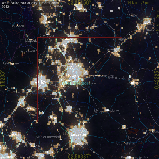
» Earth at Night: Flat Maps 2012, 2016