Nottingham night lights from space
Night Light of Nottingham (England) from space (United Kingdom) Src. Average luminocity for 10x10km area is 86.1865% and for 50x50km: 26.5062%.
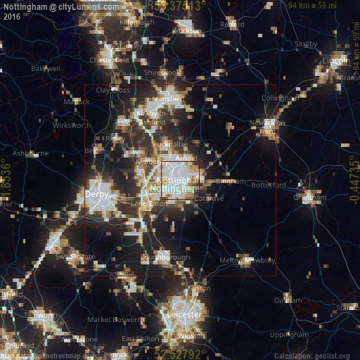
Analysis of Nottingham night lights 2016
Square area 10x10 km:
 33.07%
90-99
30.56%80-89
10.98%70-79
6.75%60-69
5.82%50-59
4.76%40-49
2.12%30-39
3.17%20-29
2.78%10-19
0%0-9
0%Square area 50x50 km:
5.13%90-99
5.53%80-89
2.55%70-79
2.47%60-69
2.96%50-59
3.15%40-49
3.35%30-39
4.5%20-29
9.26%10-19
15.29%0-9
45.8%Clear (daylight) street map image can be seen on geolist.org.
Map coordinates:
53° 22' 30.5" North, 1° 51' 13" West
52° 57' 13" North, 1° 9' 1.7" West
52° 31' 40.5" North, 0° 26' 50.5" West
Some cities around Nottingham sort by population:
• West Bridgford
3.1 km =1.9 mi,  147°
147°
• Arnold
5.3 km =3.3 mi,  12°
12°
• Basford
2.6 km =1.6 mi,  303°
303°
• Kimberley
8.5 km =5.3 mi,  293°
293°
• New Basford
2.4 km =1.5 mi,  335°
335°
• Radcliffe on Trent
7.5 km =4.7 mi,  94°
94°
• Cotgrave
9.1 km =5.7 mi,  123°
123°
• Ruddington
6.8 km =4.2 mi,  179°
179°
2641170 (p: 729,977)
Sources (retrieved 2019-11-25):
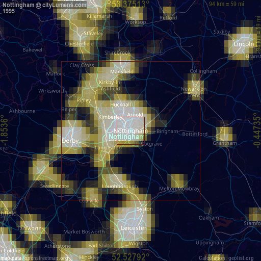
» NASA, Earths city lights 1995
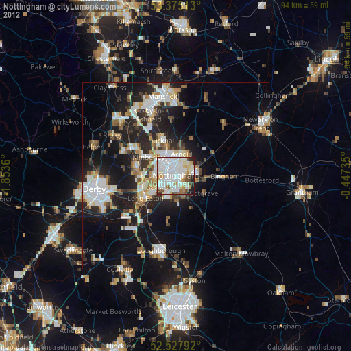
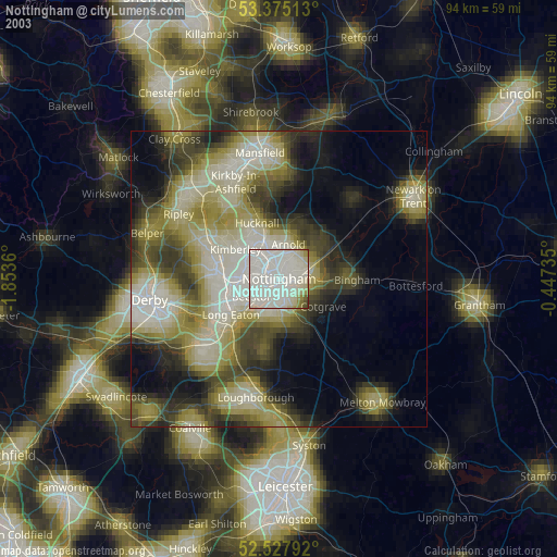
» NASA city lights 2003
» Earth at Night: Flat Maps 2012, 2016