Hucknall night lights from space
Night Light of Hucknall (England) from space (United Kingdom) Src. Average luminocity for 10x10km area is 56.7143% and for 50x50km: 26.6049%.
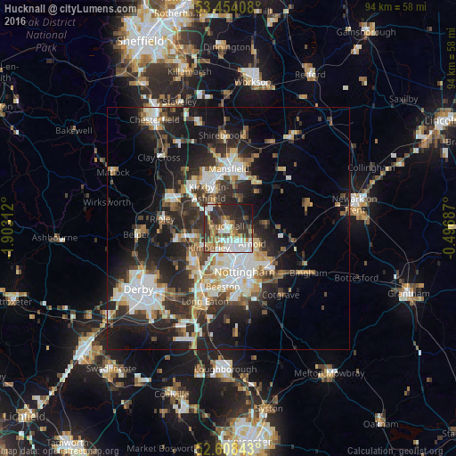
Analysis of Hucknall night lights 2016
Square area 10x10 km:
 13.36%
90-99
12.04%80-89
5.42%70-79
4.63%60-69
8.99%50-59
9.13%40-49
5.82%30-39
13.89%20-29
17.86%10-19
8.73%0-9
0.13%Square area 50x50 km:
4.98%90-99
5.53%80-89
2.63%70-79
2.46%60-69
2.89%50-59
3.13%40-49
3.44%30-39
4.91%20-29
10.16%10-19
14.68%0-9
45.19%Clear (daylight) street map image can be seen on geolist.org.
Map coordinates:
53° 27' 14.7" North, 1° 54' 11.2" West
53° 1' 60" North, 1° 12' 0" West
52° 36' 30.3" North, 0° 29' 48.7" West
Some cities around Hucknall sort by population:
• Arnold
5.8 km =3.6 mi,  129°
129°
• Kirkby in Ashfield
8 km =5 mi,  338°
338°
• Eastwood
7.6 km =4.7 mi,  241°
241°
• Basford
7.5 km =4.7 mi,  171°
171°
• Kimberley
7.1 km =4.4 mi,  218°
218°
• New Basford
7.1 km =4.4 mi,  160°
160°
• Calverton
7.9 km =4.9 mi,  86°
86°
• Ravenshead
6.5 km =4 mi,  24°
24°
2646460 (p: 29,728)
Sources (retrieved 2019-11-25):
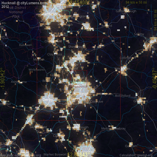
» Earth at Night: Flat Maps 2012, 2016