Mitcham night lights from space
Night Light of Mitcham (England) from space (United Kingdom) Src. Average luminocity for 10x10km area is 96.4314% and for 50x50km: 61.9965%.
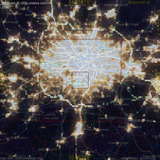
Analysis of Mitcham night lights 2016
Square area 10x10 km:
 62.18%
90-99
23.11%80-89
8.26%70-79
4.76%60-69
1.26%50-59
0.42%40-49
0%30-39
0%20-29
0%10-19
0%0-9
0%Square area 50x50 km:
27.23%90-99
15.19%80-89
5.47%70-79
4.68%60-69
5.11%50-59
4.9%40-49
4.62%30-39
4.05%20-29
4.6%10-19
6.17%0-9
17.97%Clear (daylight) street map image can be seen on geolist.org.
Map coordinates:
51° 50' 23.1" North, 0° 52' 17.1" West
51° 24' 11.6" North, 0° 10' 5.9" West
50° 57' 44.9" North, 0° 32' 5.4" East
Some cities around Mitcham sort by population:
• Croydon
5.2 km =3.2 mi,  115°
115°
• Morden
2.2 km =1.4 mi,  255°
255°
• Carshalton
3.9 km =2.4 mi,  179°
179°
• Worcester Park
5.9 km =3.7 mi,  243°
243°
• Earlsfield
4.7 km =2.9 mi,  345°
345°
• Thornton Heath
4.9 km =3 mi,  95°
95°
• Brixton Hill
6.3 km =3.9 mi,  30°
30°
• Cheam
5.8 km =3.6 mi,  217°
217°
2642414 (p: 48,311)
Sources (retrieved 2019-11-25):
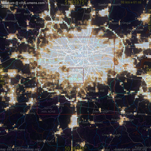
» Earth at Night: Flat Maps 2012, 2016