Thornton Heath night lights from space
Night Light of Thornton Heath (England) from space (United Kingdom) Src. Average luminocity for 10x10km area is 95.7059% and for 50x50km: 60.9697%.
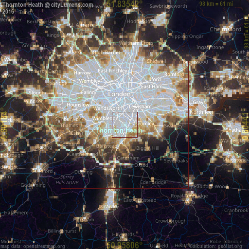
Analysis of Thornton Heath night lights 2016
Square area 10x10 km:
 56.86%
90-99
27.31%80-89
7.14%70-79
4.9%60-69
3.64%50-59
0.14%40-49
0%30-39
0%20-29
0%10-19
0%0-9
0%Square area 50x50 km:
27.05%90-99
15.1%80-89
5.53%70-79
4.55%60-69
4.87%50-59
4.75%40-49
3.95%30-39
3.42%20-29
4.5%10-19
6.15%0-9
20.13%Clear (daylight) street map image can be seen on geolist.org.
Map coordinates:
51° 50' 7.5" North, 0° 48' 6.6" West
51° 23' 55.8" North, 0° 5' 55.4" West
50° 57' 29" North, 0° 36' 15.9" East
Some cities around Thornton Heath sort by population:
• Croydon
1.7 km =1.1 mi,  182°
182°
• Beckenham
5.2 km =3.2 mi,  77°
77°
• South Croydon
4.1 km =2.5 mi, 175°
• Mitcham
4.9 km =3 mi,  275°
275°
• Morden
6.9 km =4.3 mi,  269°
269°
• Carshalton
5.9 km =3.7 mi,  234°
234°
• West Wickham
6.7 km =4.2 mi,  122°
122°
• Brixton Hill
6.2 km =3.9 mi,  344°
344°
2635963 (p: 14,669)
Sources (retrieved 2019-11-25):
» Earth at Night: Flat Maps 2012, 2016