Morden night lights from space
Night Light of Morden (England) from space (United Kingdom) Src. Average luminocity for 10x10km area is 91.6373% and for 50x50km: 60.6804%.
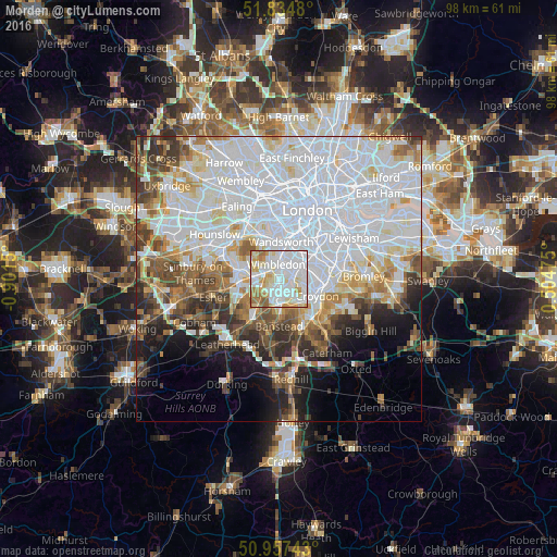
Analysis of Morden night lights 2016
Square area 10x10 km:
 44.12%
90-99
25.07%80-89
12.32%70-79
9.1%60-69
7%50-59
2.38%40-49
0%30-39
0%20-29
0%10-19
0%0-9
0%Square area 50x50 km:
26.78%90-99
14.58%80-89
5.01%70-79
4.52%60-69
5.02%50-59
4.71%40-49
4.88%30-39
4.61%20-29
4.86%10-19
6.44%0-9
18.6%Clear (daylight) street map image can be seen on geolist.org.
Map coordinates:
51° 50' 5.3" North, 0° 54' 5.4" West
51° 23' 53.6" North, 0° 11' 54.1" West
50° 57' 26.7" North, 0° 30' 17.1" East
Some cities around Morden sort by population:
• Sutton
5.4 km =3.4 mi,  181°
181°
• Mitcham
2.2 km =1.4 mi,  75°
75°
• Carshalton
4 km =2.5 mi,  147°
147°
• Ewell
6.5 km =4 mi,  213°
213°
• New Malden
4.4 km =2.7 mi,  273°
273°
• Worcester Park
3.8 km =2.4 mi,  237°
237°
• Earlsfield
5.2 km =3.2 mi,  10°
10°
• Cheam
4.3 km =2.7 mi,  200°
200°
2642233 (p: 48,233)
Sources (retrieved 2019-11-25):
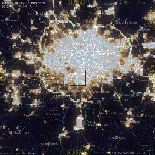
» Earth at Night: Flat Maps 2012, 2016