Halesworth night lights from space
Night Light of Halesworth (England) from space (United Kingdom) Src. Average luminocity for 10x10km area is 1.798% and for 50x50km: 1.5053%.
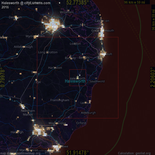
Analysis of Halesworth night lights 2016
Square area 10x10 km:
 0.25%
0.25%90-99
0.25%80-89
0%70-79
0.51%60-69
1.01%50-59
0%40-49
0%30-39
0.13%20-29
0.38%10-19
0%0-9
97.47%Square area 50x50 km:
0.09%90-99
0.12%80-89
0.04%70-79
0.2%60-69
0.18%50-59
0.27%40-49
0.4%30-39
0.32%20-29
0.41%10-19
1.48%0-9
96.49%Clear (daylight) street map image can be seen on geolist.org.
Map coordinates:
52° 46' 25.9" North, 0° 47' 59.2" East
52° 20' 47" North, 1° 30' 10.4" East
51° 54' 53.2" North, 2° 12' 21.7" East
Some cities around Halesworth sort by population:
• Lowestoft
22.1 km =13.7 mi,  49°
49°
• Beccles
13.2 km =8.2 mi,  18°
18°
• Diss
27 km =16.8 mi,  277°
277°
• Bradwell
28.6 km =17.8 mi,  27°
27°
• Leiston
16.4 km =10.2 mi,  161°
161°
• Gorleston-on-Sea
29.5 km =18.3 mi, 31°
• Poringland
26.7 km =16.6 mi,  337°
337°
• Bungay
12.8 km =8 mi, 339°
2647638 (p: 5,558)
Sources (retrieved 2019-11-25):
» Earth at Night: Flat Maps 2012, 2016