Leatherhead night lights from space
Night Light of Leatherhead (England) from space (United Kingdom) Src. Average luminocity for 10x10km area is 35.0868% and for 50x50km: 41.4328%.
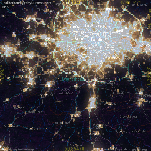
Analysis of Leatherhead night lights 2016
Square area 10x10 km:
 3.36%
3.36%90-99
6.72%80-89
0.42%70-79
2.24%60-69
6.3%50-59
4.2%40-49
7.56%30-39
14.01%20-29
15.69%10-19
29.41%0-9
10.08%Square area 50x50 km:
14.39%90-99
8.26%80-89
3.33%70-79
3.74%60-69
4.26%50-59
4.96%40-49
5.58%30-39
4.81%20-29
6.18%10-19
11.52%0-9
32.95%Clear (daylight) street map image can be seen on geolist.org.
Map coordinates:
51° 44' 2.7" North, 1° 2' 12.9" West
51° 17' 47.5" North, 0° 20' 1.7" West
50° 51' 17.1" North, 0° 22' 9.6" East
Some cities around Leatherhead sort by population:
• Epsom
5.8 km =3.6 mi,  49°
49°
• Chessington
7.6 km =4.7 mi,  15°
15°
• Dorking
7.1 km =4.4 mi,  180°
180°
• Cobham
6.5 km =4 mi,  304°
304°
• Ashtead
2.7 km =1.7 mi,  60°
60°
• Great Bookham
3.4 km =2.1 mi,  235°
235°
• Tadworth
6.8 km =4.2 mi,  94°
94°
• East Horsley
7.3 km =4.5 mi,  249°
249°
2644726 (p: 43,544)
Sources (retrieved 2019-11-25):
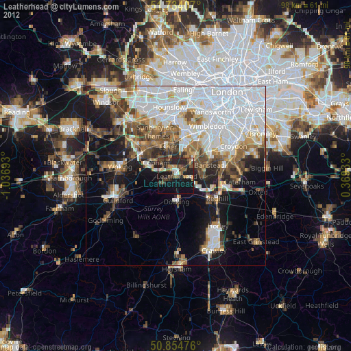
» Earth at Night: Flat Maps 2012, 2016