Kidlington night lights from space
Night Light of Kidlington (England) from space (United Kingdom) Src. Average luminocity for 10x10km area is 21.5322% and for 50x50km: 8.5569%.
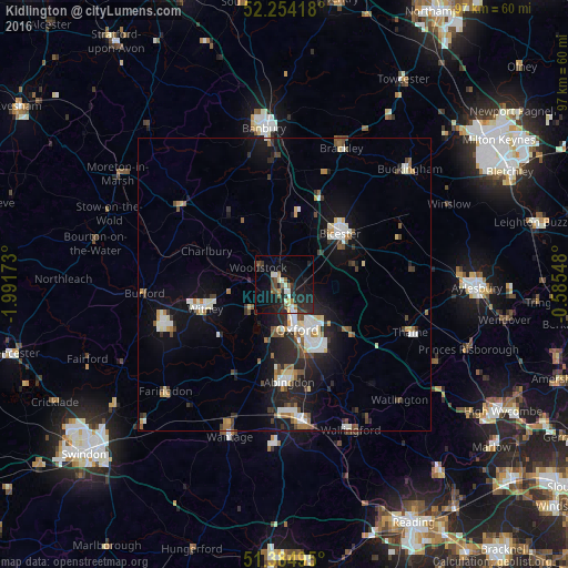
Analysis of Kidlington night lights 2016
Square area 10x10 km:
 0.98%
0.98%90-99
5.32%80-89
0.42%70-79
2.24%60-69
1.12%50-59
3.78%40-49
3.22%30-39
2.66%20-29
12.75%10-19
21.99%0-9
45.52%Square area 50x50 km:
1.09%90-99
1.77%80-89
0.71%70-79
0.67%60-69
0.87%50-59
0.85%40-49
1.41%30-39
1%20-29
2.73%10-19
6.78%0-9
82.14%Clear (daylight) street map image can be seen on geolist.org.
Map coordinates:
52° 15' 15" North, 1° 59' 30.2" West
51° 49' 18" North, 1° 17' 19" West
51° 23' 5.8" North, 0° 35' 7.7" West
Some cities around Kidlington sort by population:
• Oxford
8 km =5 mi,  163°
163°
• Abingdon
16.7 km =10.4 mi,  178°
178°
• Bicester
12.7 km =7.9 mi,  46°
46°
• Witney
14.2 km =8.8 mi,  252°
252°
• Cowley
11.5 km =7.1 mi,  150°
150°
• Carterton
22.2 km =13.8 mi, 251°
• Chipping Norton
22.1 km =13.7 mi,  307°
307°
• Wheatley
13.2 km =8.2 mi,  128°
128°
2645722 (p: 15,829)
Sources (retrieved 2019-11-25):
» Earth at Night: Flat Maps 2012, 2016