Witney night lights from space
Night Light of Witney (England) from space (United Kingdom) Src. Average luminocity for 10x10km area is 16.8838% and for 50x50km: 10.2548%.
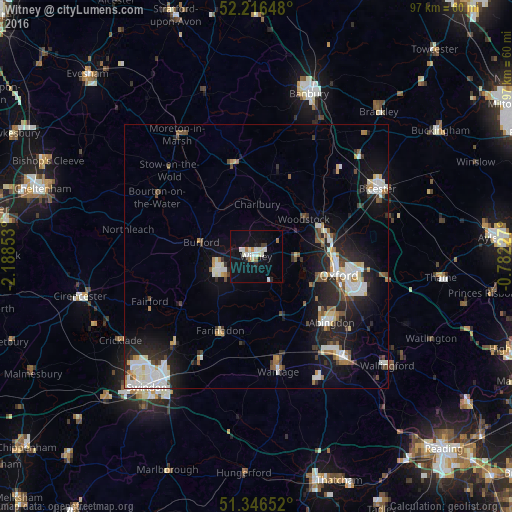
Analysis of Witney night lights 2016
Square area 10x10 km:
 2.66%
2.66%90-99
4.62%80-89
1.68%70-79
0.28%60-69
2.52%50-59
0%40-49
0.56%30-39
0.56%20-29
1.68%10-19
17.23%0-9
68.21%Square area 50x50 km:
1.79%90-99
2.45%80-89
0.76%70-79
0.79%60-69
0.93%50-59
0.83%40-49
1.28%30-39
0.95%20-29
3.32%10-19
7.62%0-9
79.29%Clear (daylight) street map image can be seen on geolist.org.
Map coordinates:
52° 12' 59.3" North, 2° 11' 18.7" West
51° 47' 1" North, 1° 29' 7.4" West
51° 20' 47.5" North, 0° 46' 56.2" West
Some cities around Witney sort by population:
• Oxford
16.2 km =10.1 mi,  102°
102°
• Abingdon
18.7 km =11.6 mi,  131°
131°
• Grove
19.8 km =12.3 mi,  167°
167°
• Cowley
20 km =12.4 mi,  106°
106°
• Carterton
8 km =5 mi,  249°
249°
• Kidlington
14.2 km =8.8 mi,  72°
72°
• Faringdon
15.8 km =9.8 mi,  206°
206°
• Chipping Norton
18 km =11.2 mi,  346°
346°
2633729 (p: 29,103)
Sources (retrieved 2019-11-25):
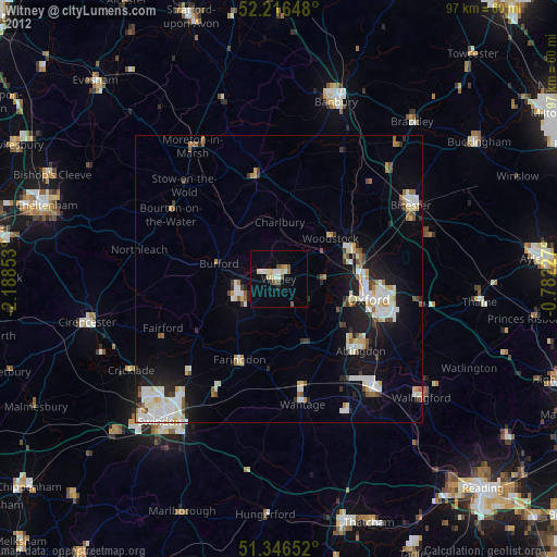
» Earth at Night: Flat Maps 2012, 2016