Bicester night lights from space
Night Light of Bicester (England) from space (United Kingdom) Src. Average luminocity for 10x10km area is 19.0947% and for 50x50km: 9.6251%.
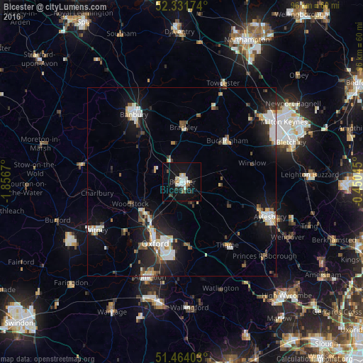
Analysis of Bicester night lights 2016
Square area 10x10 km:
 3.66%
3.66%90-99
4.17%80-89
1.64%70-79
1.77%60-69
0.63%50-59
0.76%40-49
2.78%30-39
2.15%20-29
1.52%10-19
23.86%0-9
57.07%Square area 50x50 km:
1.69%90-99
2.03%80-89
0.87%70-79
0.67%60-69
0.79%50-59
0.85%40-49
1.19%30-39
0.96%20-29
2.95%10-19
7.91%0-9
80.1%Clear (daylight) street map image can be seen on geolist.org.
Map coordinates:
52° 19' 54.3" North, 1° 51' 24.1" West
51° 53' 59.9" North, 1° 9' 12.9" West
51° 27' 50.5" North, 0° 27' 1.6" West
Some cities around Bicester sort by population:
• Oxford
17.9 km =11.1 mi,  203°
203°
• Banbury
22.3 km =13.9 mi,  324°
324°
• Cowley
19 km =11.8 mi,  190°
190°
• Kidlington
12.7 km =7.9 mi,  226°
226°
• Brackley
14.8 km =9.2 mi,  0°
0°
• Buckingham
15.9 km =9.9 mi,  45°
45°
• Thame
20.8 km =12.9 mi,  144°
144°
• Wheatley
17 km =10.6 mi,  176°
176°
2655729 (p: 33,846)
Sources (retrieved 2019-11-25):
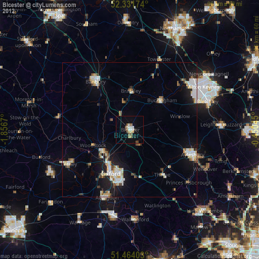
» Earth at Night: Flat Maps 2012, 2016