Cowley night lights from space
Night Light of Cowley (England) from space (United Kingdom) Src. Average luminocity for 10x10km area is 45.9454% and for 50x50km: 8.5087%.
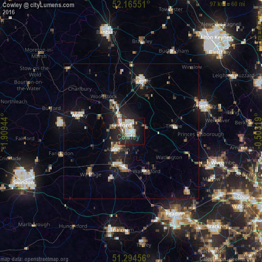
Analysis of Cowley night lights 2016
Square area 10x10 km:
 11.76%
90-99
13.87%80-89
4.34%70-79
2.38%60-69
2.94%50-59
1.96%40-49
6.72%30-39
3.36%20-29
19.19%10-19
17.79%0-9
15.69%Square area 50x50 km:
1.08%90-99
1.63%80-89
0.72%70-79
0.67%60-69
0.86%50-59
0.84%40-49
1.36%30-39
0.95%20-29
2.83%10-19
7.06%0-9
82%Clear (daylight) street map image can be seen on geolist.org.
Map coordinates:
52° 9' 55.8" North, 1° 54' 34" West
51° 43' 55.7" North, 1° 12' 22.7" West
51° 17' 40.4" North, 0° 30' 11.5" West
Some cities around Cowley sort by population:
• Oxford
4.1 km =2.5 mi,  303°
303°
• Abingdon
8.6 km =5.3 mi,  217°
217°
• Didcot
13.9 km =8.6 mi,  190°
190°
• Kidlington
11.5 km =7.1 mi,  330°
330°
• Thame
15.9 km =9.9 mi,  83°
83°
• Wallingford
15.7 km =9.8 mi,  159°
159°
• Benson
14.1 km =8.8 mi,  151°
151°
• Wheatley
4.9 km =3 mi,  69°
69°
2652191 (p: 16,500)
Sources (retrieved 2019-11-25):
» Earth at Night: Flat Maps 2012, 2016