Hertford night lights from space
Night Light of Hertford (England) from space (United Kingdom) Src. Average luminocity for 10x10km area is 19.6218% and for 50x50km: 33.479%.
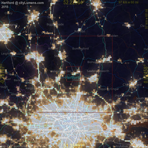
Analysis of Hertford night lights 2016
Square area 10x10 km:
 2.38%
2.38%90-99
1.26%80-89
1.26%70-79
1.82%60-69
2.38%50-59
2.94%40-49
4.9%30-39
3.92%20-29
3.78%10-19
23.11%0-9
52.24%Square area 50x50 km:
7.77%90-99
7.78%80-89
3.43%70-79
2.72%60-69
4.1%50-59
4.72%40-49
4.01%30-39
4.88%20-29
7.41%10-19
13.88%0-9
39.3%Clear (daylight) street map image can be seen on geolist.org.
Map coordinates:
52° 13' 43.1" North, 0° 46' 54" West
51° 47' 45.2" North, 0° 4' 42.7" West
51° 21' 32.1" North, 0° 37' 28.5" East
Some cities around Hertford sort by population:
• Welwyn Garden City
8.9 km =5.5 mi,  274°
274°
• Cheshunt
11.1 km =6.9 mi,  162°
162°
• Hatfield
10.7 km =6.6 mi,  250°
250°
• Hoddesdon
6 km =3.7 mi,  129°
129°
• Ware
3.8 km =2.4 mi,  64°
64°
• Broxbourne
6.8 km =4.2 mi,  143°
143°
• Codicote
12.5 km =7.8 mi,  299°
299°
• Waltham Cross
12.6 km =7.8 mi,  166°
166°
2647044 (p: 25,847)
Sources (retrieved 2019-11-25):
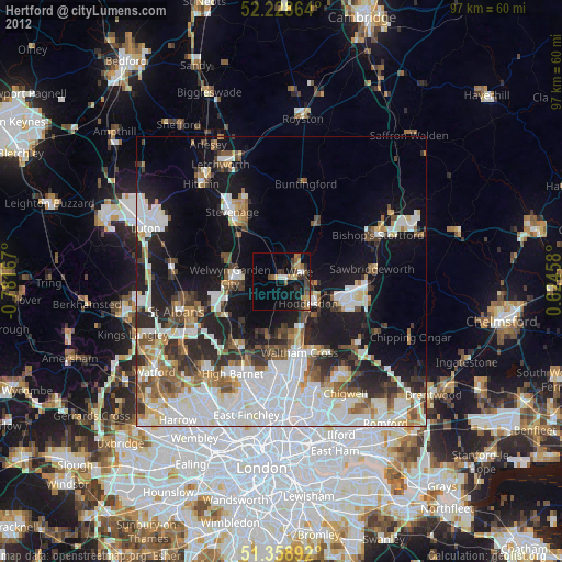
» Earth at Night: Flat Maps 2012, 2016