Hoddesdon night lights from space
Night Light of Hoddesdon (England) from space (United Kingdom) Src. Average luminocity for 10x10km area is 31.1106% and for 50x50km: 35.3678%.
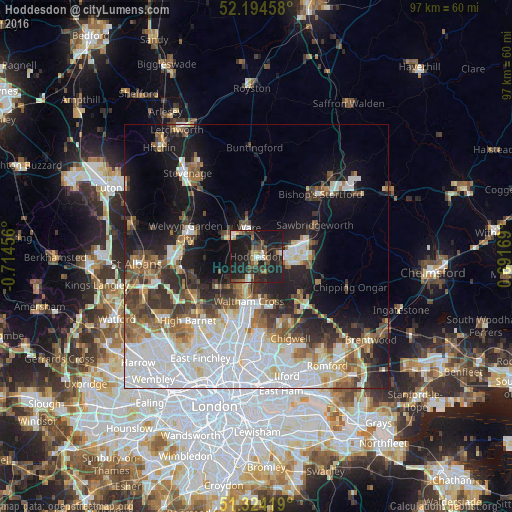
Analysis of Hoddesdon night lights 2016
Square area 10x10 km:
 2.66%
2.66%90-99
2.94%80-89
2.38%70-79
1.96%60-69
3.64%50-59
4.9%40-49
6.72%30-39
8.12%20-29
18.91%10-19
46.78%0-9
0.98%Square area 50x50 km:
10.9%90-99
7.86%80-89
3.2%70-79
2.52%60-69
3.73%50-59
4.27%40-49
3.81%30-39
4.42%20-29
6.28%10-19
13.85%0-9
39.16%Clear (daylight) street map image can be seen on geolist.org.
Map coordinates:
52° 11' 40.5" North, 0° 42' 52.4" West
51° 45' 41.3" North, 0° 0' 41.2" West
51° 19' 27.1" North, 0° 41' 30.1" East
Some cities around Hoddesdon sort by population:
• Harlow
8.6 km =5.3 mi,  78°
78°
• Cheshunt
6.9 km =4.3 mi,  190°
190°
• Hertford
6 km =3.7 mi,  309°
309°
• Waltham Abbey
8.3 km =5.2 mi,  176°
176°
• Ware
5.6 km =3.5 mi,  347°
347°
• Broxbourne
1.7 km =1.1 mi,  198°
198°
• Waltham Cross
8.6 km =5.3 mi, 191°
• Old Harlow
10.3 km =6.4 mi, 76°
2646807 (p: 35,174)
Sources (retrieved 2019-11-25):
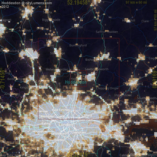
» Earth at Night: Flat Maps 2012, 2016