Welwyn Garden City night lights from space
Night Light of Welwyn Garden City (England) from space (United Kingdom) Src. Average luminocity for 10x10km area is 30.2745% and for 50x50km: 34.4061%.
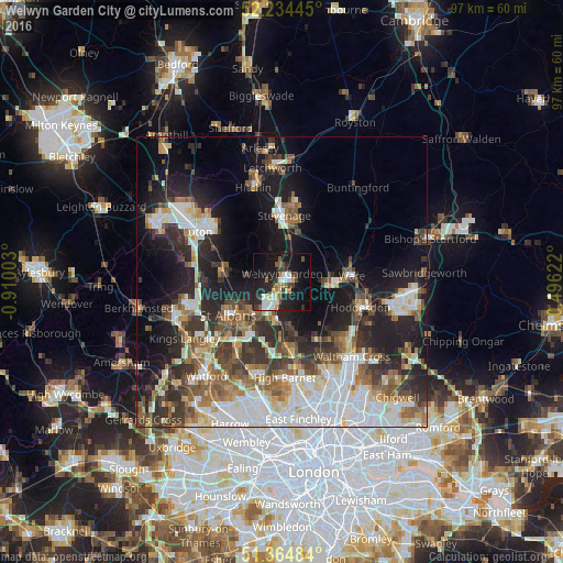
Analysis of Welwyn Garden City night lights 2016
Square area 10x10 km:
 5.18%
5.18%90-99
5.46%80-89
2.8%70-79
1.68%60-69
2.52%50-59
4.76%40-49
3.78%30-39
4.62%20-29
12.46%10-19
31.09%0-9
25.63%Square area 50x50 km:
7.41%90-99
7.68%80-89
3.37%70-79
2.83%60-69
4.26%50-59
4.9%40-49
4.43%30-39
6.09%20-29
8.68%10-19
15.16%0-9
35.19%Clear (daylight) street map image can be seen on geolist.org.
Map coordinates:
52° 14' 4" North, 0° 54' 36.1" West
51° 48' 6.3" North, 0° 12' 24.9" West
51° 21' 53.4" North, 0° 29' 46.4" East
Some cities around Welwyn Garden City sort by population:
• Stevenage
11.2 km =7 mi,  1°
1°
• St Albans
10.4 km =6.5 mi,  236°
236°
• Hatfield
4.4 km =2.7 mi,  195°
195°
• Harpenden
10.5 km =6.5 mi,  279°
279°
• Hertford
8.9 km =5.5 mi,  94°
94°
• Potters Bar
12.2 km =7.6 mi,  170°
170°
• Ware
12.3 km =7.6 mi, 85°
• Codicote
5.8 km =3.6 mi,  339°
339°
2634552 (p: 59,910)
Sources (retrieved 2019-11-25):
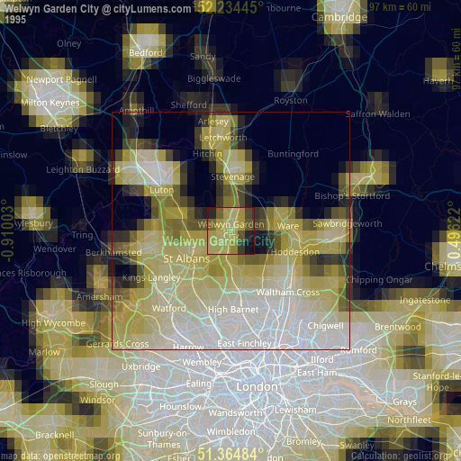
» NASA, Earths city lights 1995
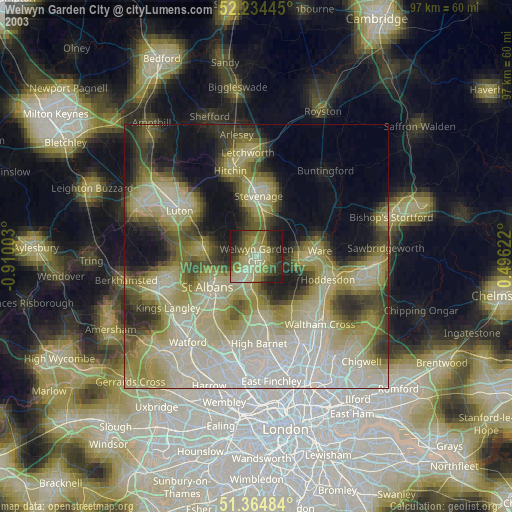
» NASA city lights 2003
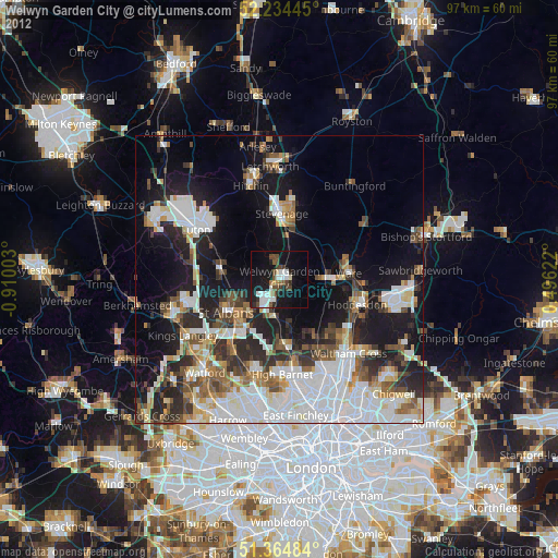
» Earth at Night: Flat Maps 2012, 2016