Hatfield night lights from space
Night Light of Hatfield (England) from space (United Kingdom) Src. Average luminocity for 10x10km area is 40.6625% and for 50x50km: 40.7295%.
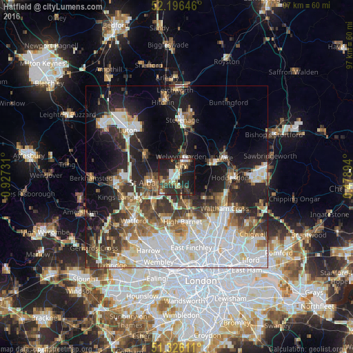
Analysis of Hatfield night lights 2016
Square area 10x10 km:
 5.04%
5.04%90-99
6.72%80-89
4.34%70-79
2.8%60-69
7.14%50-59
5.46%40-49
6.44%30-39
8.54%20-29
25.35%10-19
25.77%0-9
2.38%Square area 50x50 km:
11.84%90-99
9.22%80-89
3.74%70-79
2.98%60-69
4.38%50-59
4.93%40-49
4.58%30-39
6.03%20-29
8.67%10-19
14.53%0-9
29.11%Clear (daylight) street map image can be seen on geolist.org.
Map coordinates:
52° 11' 47.3" North, 0° 55' 38.3" West
51° 45' 48.2" North, 0° 13' 27.1" West
51° 19' 34" North, 0° 28' 44.2" East
Some cities around Hatfield sort by population:
• St Albans
7.7 km =4.8 mi,  258°
258°
• Welwyn Garden City
4.4 km =2.7 mi,  15°
15°
• Harpenden
10.9 km =6.8 mi,  303°
303°
• Hertford
10.7 km =6.6 mi,  70°
70°
• Potters Bar
8.4 km =5.2 mi,  157°
157°
• Hadley Wood
11.4 km =7.1 mi, 160°
• Codicote
9.7 km =6 mi,  354°
354°
• Radlett
10.8 km =6.7 mi,  217°
217°
2647349 (p: 41,677)
Sources (retrieved 2019-11-25):
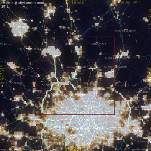
» Earth at Night: Flat Maps 2012, 2016