Halifax night lights from space
Night Light of Halifax (England) from space (United Kingdom) Src. Average luminocity for 10x10km area is 62.8081% and for 50x50km: 36.849%.
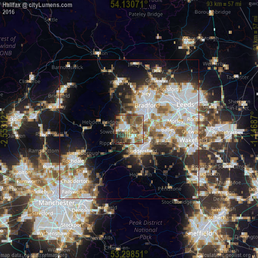
Analysis of Halifax night lights 2016
Square area 10x10 km:
 8.96%
8.96%90-99
11.49%80-89
7.45%70-79
8.59%60-69
16.04%50-59
18.18%40-49
10.48%30-39
7.95%20-29
7.32%10-19
3.54%0-9
0%Square area 50x50 km:
10.46%90-99
8.54%80-89
3.06%70-79
3.95%60-69
4.62%50-59
4.58%40-49
3.68%30-39
4.17%20-29
6.43%10-19
10.78%0-9
39.73%Clear (daylight) street map image can be seen on geolist.org.
Map coordinates:
54° 7' 50.6" North, 2° 33' 11.2" West
53° 43' 0" North, 1° 51' 0" West
53° 17' 54.6" North, 1° 8' 48.7" West
Some cities around Halifax sort by population:
• Huddersfield
8.7 km =5.4 mi,  150°
150°
• Brighouse
4.6 km =2.9 mi,  109°
109°
• Cleckheaton
9.1 km =5.7 mi,  84°
84°
• Elland
3.6 km =2.2 mi,  168°
168°
• Liversedge
10.4 km =6.5 mi,  97°
97°
• Rastrick
4.9 km =3 mi,  123°
123°
• Sowerby Bridge
4 km =2.5 mi,  257°
257°
• Queensbury
5.5 km =3.4 mi,  0°
0°
2647632 (p: 82,624)
Sources (retrieved 2019-11-25):
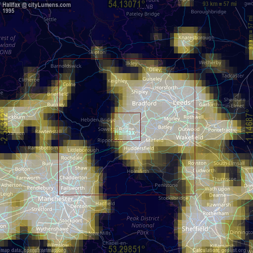
» NASA, Earths city lights 1995
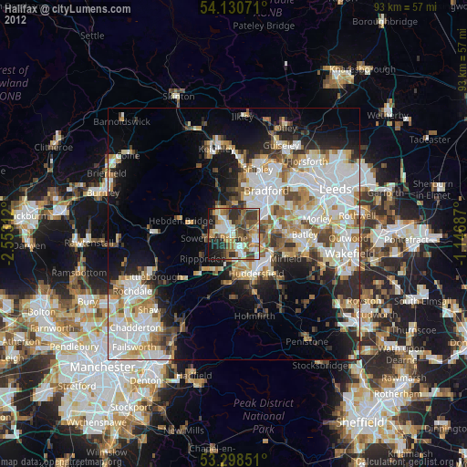
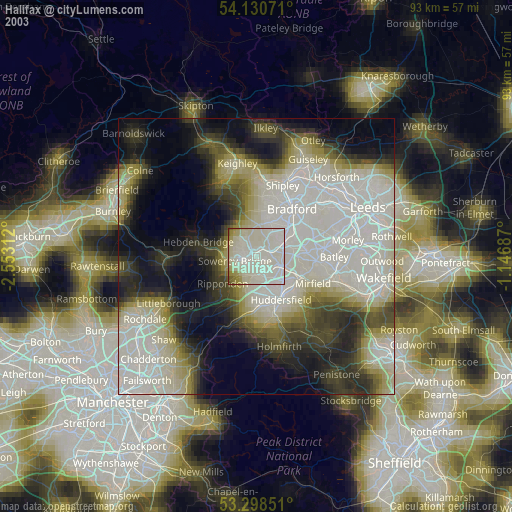
» NASA city lights 2003
» Earth at Night: Flat Maps 2012, 2016