Brighouse night lights from space
Night Light of Brighouse (England) from space (United Kingdom) Src. Average luminocity for 10x10km area is 71.6326% and for 50x50km: 38.2745%.
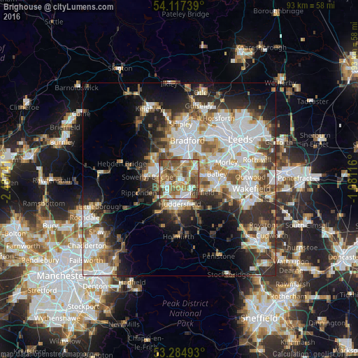
Analysis of Brighouse night lights 2016
Square area 10x10 km:
 12.5%
12.5%90-99
15.66%80-89
9.47%70-79
10.48%60-69
18.94%50-59
17.42%40-49
11.36%30-39
4.04%20-29
0.13%10-19
0%0-9
0%Square area 50x50 km:
10.14%90-99
8.85%80-89
3.39%70-79
4.11%60-69
4.68%50-59
4.86%40-49
4.45%30-39
5.5%20-29
7.59%10-19
9.94%0-9
36.5%Clear (daylight) street map image can be seen on geolist.org.
Map coordinates:
54° 7' 2.6" North, 2° 29' 14.7" West
53° 42' 11.6" North, 1° 47' 3.4" West
53° 17' 5.7" North, 1° 4' 52.2" West
Some cities around Brighouse sort by population:
• Huddersfield
6 km =3.7 mi,  179°
179°
• Halifax
4.6 km =2.9 mi,  289°
289°
• Cleckheaton
5.2 km =3.2 mi,  63°
63°
• Mirfield
6.7 km =4.2 mi,  119°
119°
• Elland
4.1 km =2.5 mi,  240°
240°
• Liversedge
6 km =3.7 mi,  87°
87°
• Heckmondwike
7 km =4.3 mi, 87°
• Rastrick
1.3 km =0.8 mi,  192°
192°
2654715 (p: 32,872)
Sources (retrieved 2019-11-25):
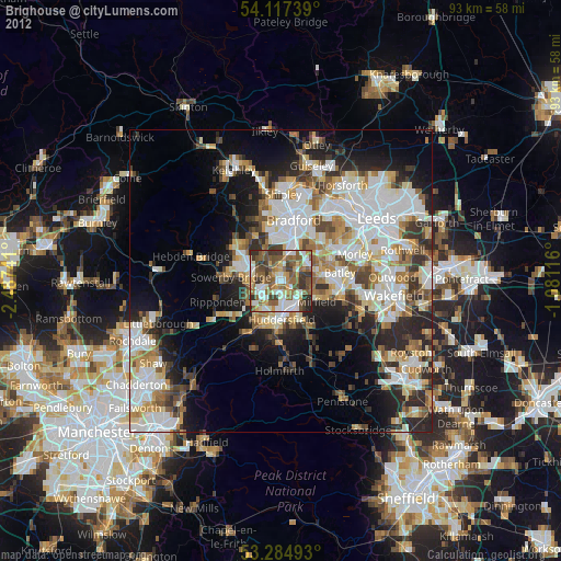
» Earth at Night: Flat Maps 2012, 2016