Cleckheaton night lights from space
Night Light of Cleckheaton (England) from space (United Kingdom) Src. Average luminocity for 10x10km area is 78.7891% and for 50x50km: 38.4456%.
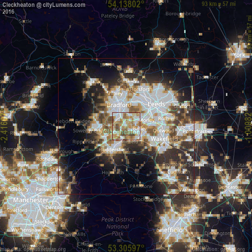
Analysis of Cleckheaton night lights 2016
Square area 10x10 km:
 18.43%
90-99
20.2%80-89
11.24%70-79
16.67%60-69
17.68%50-59
7.58%40-49
7.2%30-39
1.01%20-29
0%10-19
0%0-9
0%Square area 50x50 km:
9.52%90-99
8.49%80-89
3.27%70-79
4.12%60-69
4.9%50-59
5.14%40-49
4.99%30-39
6.39%20-29
8.79%10-19
10.02%0-9
34.38%Clear (daylight) street map image can be seen on geolist.org.
Map coordinates:
54° 8' 16.9" North, 2° 24' 57.9" West
53° 43' 26.6" North, 1° 42' 46.6" West
53° 18' 21.5" North, 1° 0' 35.4" West
Some cities around Cleckheaton sort by population:
• Morley
7.7 km =4.8 mi,  76°
76°
• Dewsbury
6.6 km =4.1 mi,  123°
123°
• Batley
5.7 km =3.5 mi,  114°
114°
• Brighouse
5.2 km =3.2 mi,  243°
243°
• Mirfield
5.7 km =3.5 mi,  169°
169°
• Liversedge
2.5 km =1.6 mi,  148°
148°
• Heckmondwike
3 km =1.9 mi,  129°
129°
• Rastrick
6.1 km =3.8 mi,  234°
234°
2652890 (p: 27,393)
Sources (retrieved 2019-11-25):
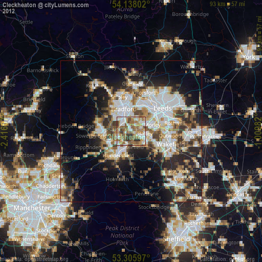
» Earth at Night: Flat Maps 2012, 2016