Godalming night lights from space
Night Light of Godalming (England) from space (United Kingdom) Src. Average luminocity for 10x10km area is 8.2888% and for 50x50km: 15.0719%.
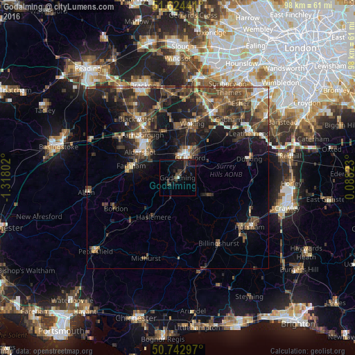
Analysis of Godalming night lights 2016
Square area 10x10 km:
 0.13%
0.13%90-99
0.4%80-89
0%70-79
0%60-69
0.13%50-59
0.4%40-49
3.34%30-39
4.68%20-29
2.14%10-19
14.57%0-9
74.2%Square area 50x50 km:
1.32%90-99
1.64%80-89
0.89%70-79
1.59%60-69
2.41%50-59
3.31%40-49
4.45%30-39
4.09%20-29
5.53%10-19
9.49%0-9
65.27%Clear (daylight) street map image can be seen on geolist.org.
Map coordinates:
51° 37' 27.9" North, 1° 19' 4.9" West
51° 11' 8.9" North, 0° 36' 53.6" West
50° 44' 34.7" North, 0° 5' 17.6" East
Some cities around Godalming sort by population:
• Guildford
6.2 km =3.9 mi,  27°
27°
• Aldershot
12.5 km =7.8 mi,  303°
303°
• Haslemere
12.5 km =7.8 mi,  211°
211°
• Cranleigh
10.4 km =6.5 mi,  117°
117°
• Witley
4.6 km =2.9 mi, 209°
• Milford
2.9 km =1.8 mi,  239°
239°
• Hindhead
11.5 km =7.1 mi,  225°
225°
• West Clandon
11.4 km =7.1 mi,  43°
43°
2648372 (p: 22,689)
Sources (retrieved 2019-11-25):
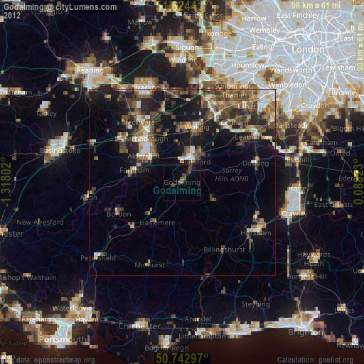
» Earth at Night: Flat Maps 2012, 2016