Clevedon night lights from space
Night Light of Clevedon (England) from space (United Kingdom) Src. Average luminocity for 10x10km area is 3.4345% and for 50x50km: 19.6398%.
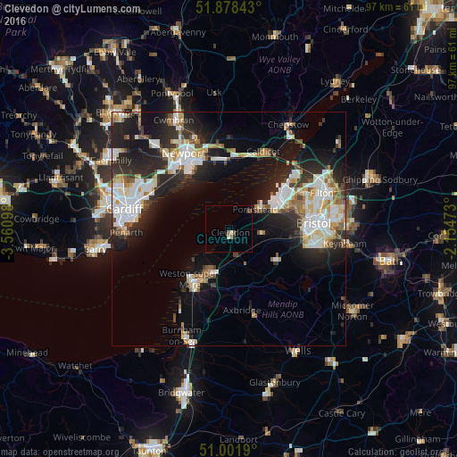
Analysis of Clevedon night lights 2016
Square area 10x10 km:
 0%
0%90-99
0.67%80-89
0.4%70-79
0%60-69
0%50-59
1.07%40-49
1.6%30-39
0.53%20-29
0%10-19
0%0-9
95.72%Square area 50x50 km:
4.15%90-99
4.59%80-89
1.74%70-79
1.92%60-69
1.71%50-59
2.13%40-49
1.76%30-39
2.38%20-29
6.91%10-19
11.07%0-9
61.63%Clear (daylight) street map image can be seen on geolist.org.
Map coordinates:
51° 52' 42.3" North, 3° 33' 39.5" West
51° 26' 32.2" North, 2° 51' 28.3" West
51° 0' 6.8" North, 2° 9' 17" West
Some cities around Clevedon sort by population:
• Weston-super-Mare
13.5 km =8.4 mi,  217°
217°
• Portishead
7.5 km =4.7 mi,  54°
54°
• Nailsea
7 km =4.3 mi,  99°
99°
• Bishopsworth
16.7 km =10.4 mi, 100°
• Yatton
6.4 km =4 mi,  158°
158°
• Magor
15.4 km =9.6 mi,  6°
6°
• Undy
15.1 km =9.4 mi, 11°
• Long Ashton
13.7 km =8.5 mi, 95°
2652861 (p: 21,002)
Sources (retrieved 2019-11-25):
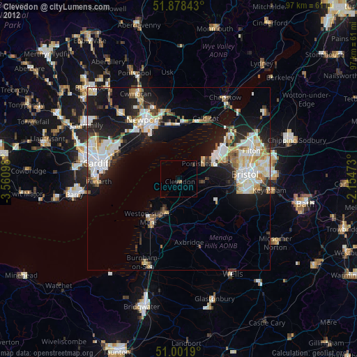
» Earth at Night: Flat Maps 2012, 2016